Jordan Hot Springs
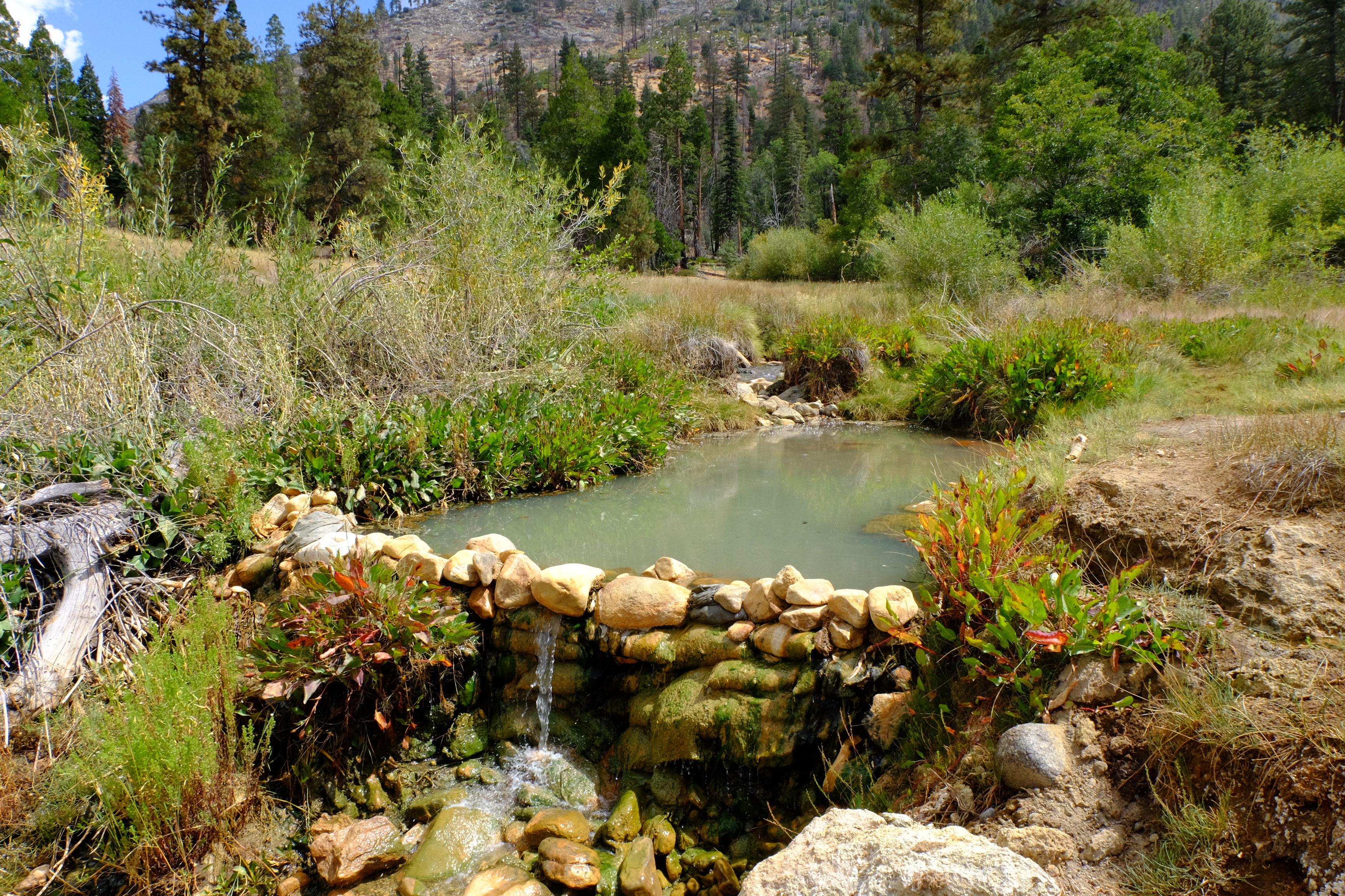
Jordan Hot Springs is a cluster of hot mineral springs in the Golden Trout Wilderness, Inyo National Forest, reached on foot. Lone Pine, the nearest town, is twenty-seven miles away. The water is hot, more than most people will sit in straight. Public access is Open. It is Forest Service wilderness, and the walk in is a real hike.
The hike is about two and three-quarter miles from the closest road, which the record lists as East Beach Creek. You are a little above sixty-five hundred feet in the Golden Trout Wilderness, and winters are deep: eight feet of snow most years, and a bit over twenty inches of precipitation. Troy Meadow Campground, twelve miles away, is the closest camping the record shows.
The record names December through February as best months, which with this much snow means the approach will be a winter trip in a wilderness area. Judge that on your own. Stay in too long and it burns, so check it before settling. No fee is recorded. A photograph is on record; chemistry is not.
Wikipedia has a short entry calling it a series of thermal mineral springs within the Golden Trout Wilderness of the Inyo National Forest.
Aircraft with laser scanners measured this ground to within inches. The scan strips out trees and buildings, leaving the bare shape of the land around Jordan Hot Springs.
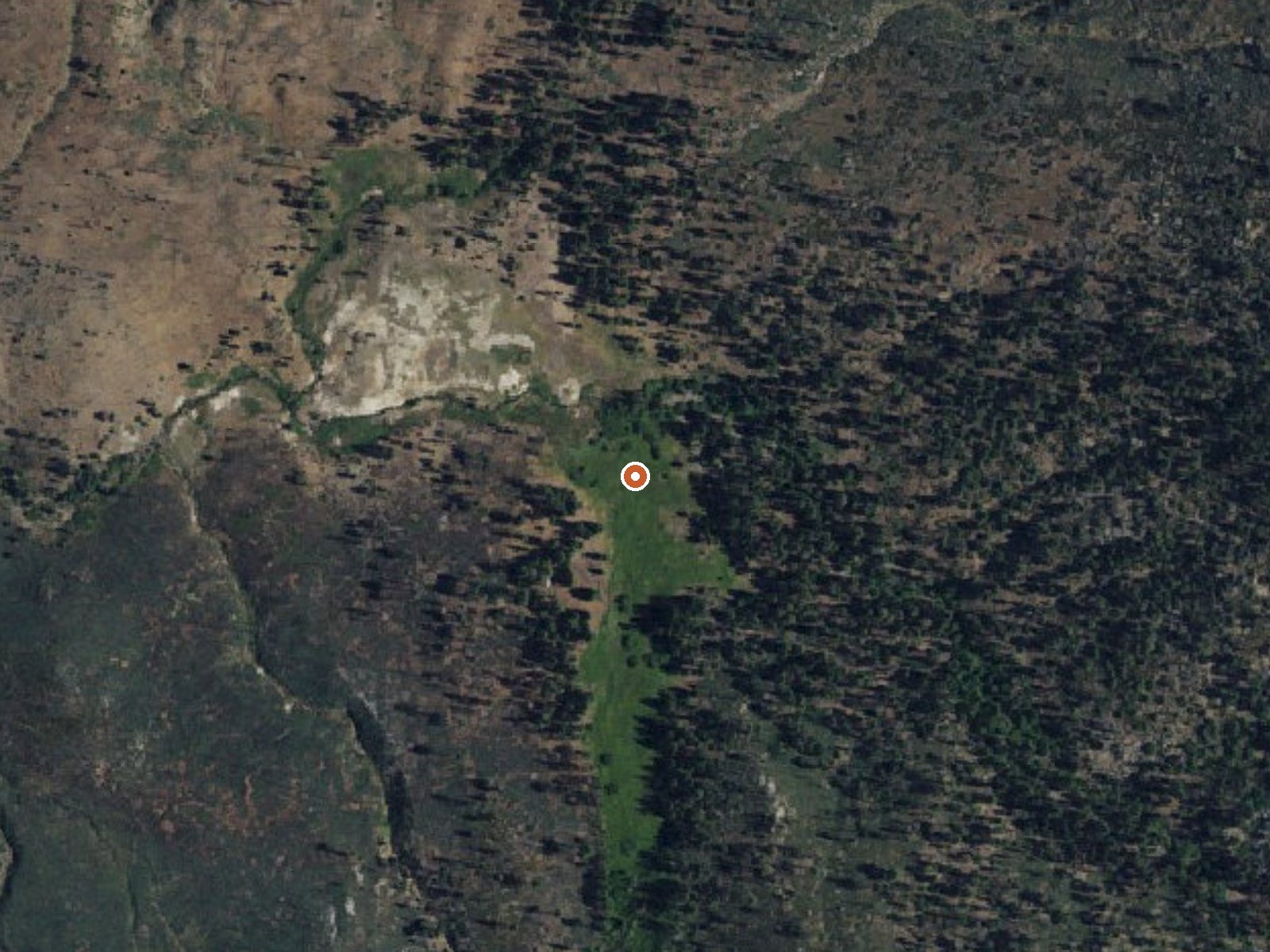
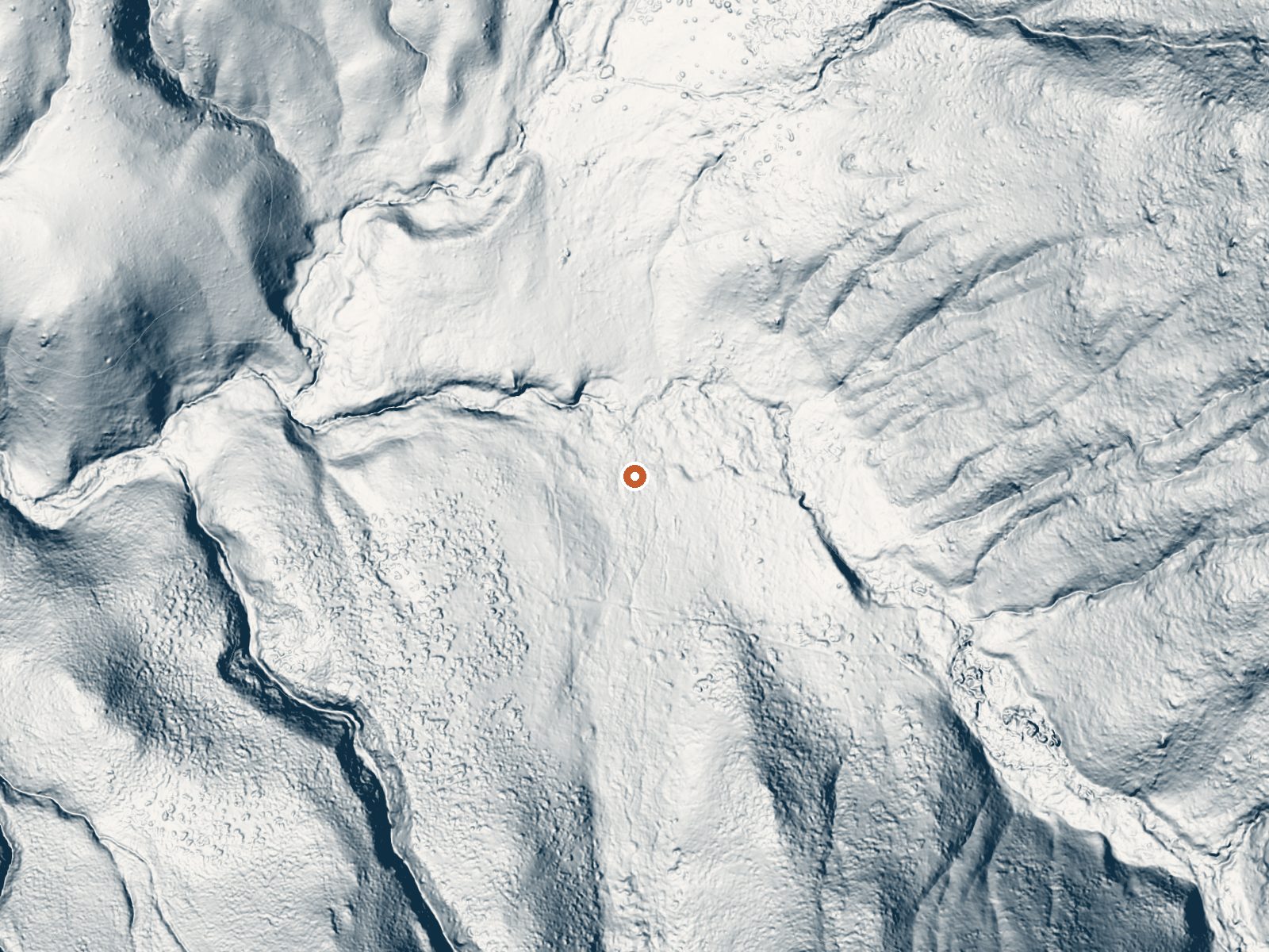
Drag the handle to compare the two views. The orange dot marks the spring, in a frame about three quarters of a mile wide.
- Setting
- Hillside
- The spring sits on a steep slope that climbs to the east.
- Highest ground nearby
- 312 ft above the spring
- Within a quarter mile, to the east
A slice through the ground from north to south, about 0.6 miles end to end.
Elevation data: USGS 3D Elevation Program. Aerial imagery: USGS The National Map. Public domain.
That's about 1½ times the US average of 65. It's higher than at 50% of the springs on this site.
Heat flow measures the warmth working its way up through the ground from deep inside the earth. Where it runs high, rain and snowmelt that seep down through cracks in the rock come back up hot.
See every spring on the geothermal heat map →
Heat flow estimate: Stanford Thermal Earth Model (Aljubran & Horne, 2024), CC BY 4.0.
Some links are affiliate links. We may earn a commission at no extra cost to you.
7800 feet elevation. 73 campsites. 24' maximum RV length. Connects to OHV trails. This campground offers high elevation forest camping. Including; bear boxes, paved parking spurs, and drinking water during season.
Jordan Hot Springs sits at 6,533 feet above sea level, way above the mile-high mark. You may not feel the altitude strongly, but hot water still dehydrates you faster at elevation. UV is about 26% stronger than at sea level, so bring sunscreen and drink more water than you normally would.



As an Amazon Associate, we earn from qualifying purchases.
Jordan Hot Springs is road-accessible, so you can bring more gear. The water runs hot, so extra hydration is key.





As an Amazon Associate, we earn from qualifying purchases.
Springs Near Jordan Hot Springs
More Springs Around 124°F
Hike 6 waterfalls near Jordan Hot Springs
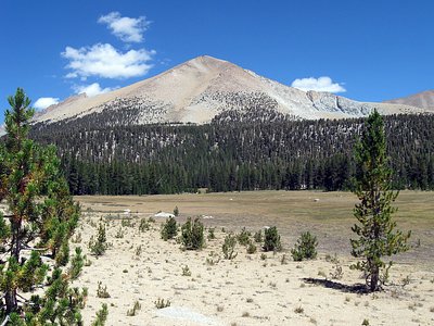
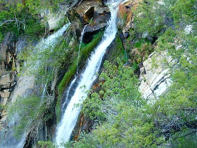
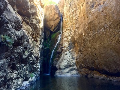
Looking for more outdoor adventures? Explore waterfall hikes near Jordan Hot Springs, California.