Mud Volcanoes
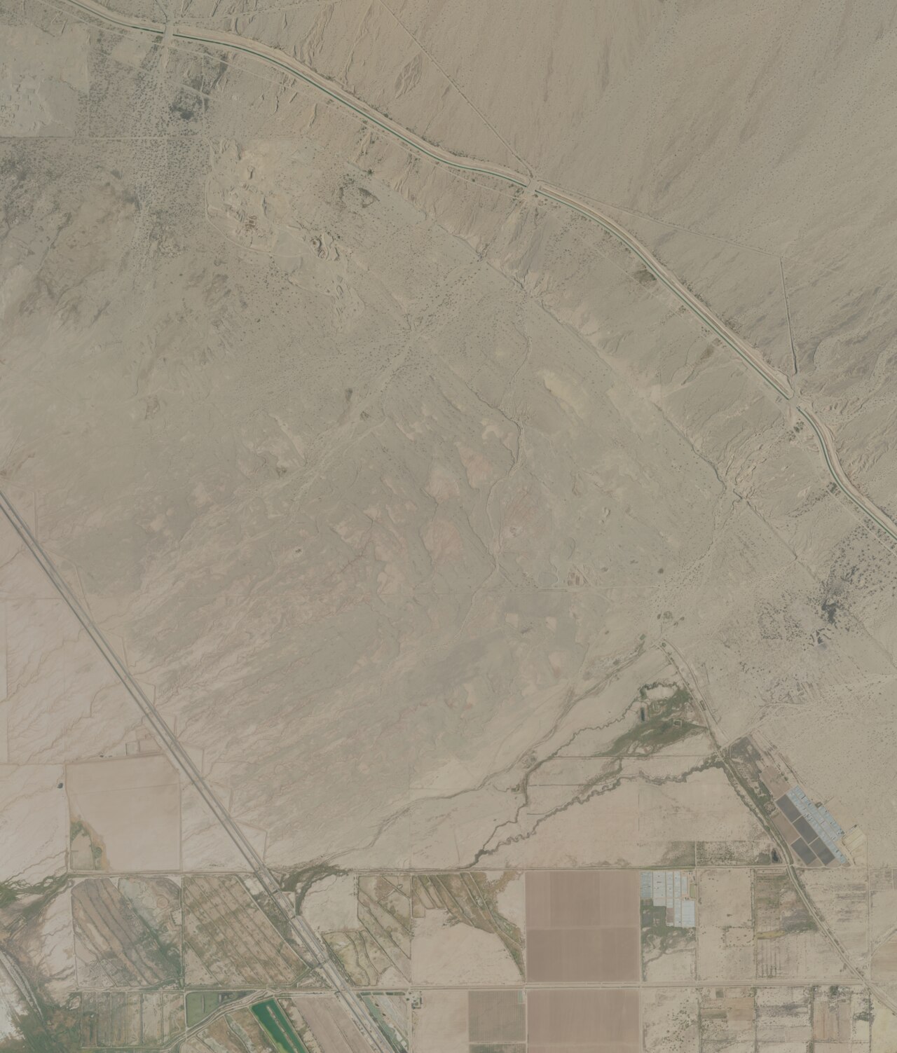
This second Mud Volcanoes cluster sits at 71 feet below sea level in the Salton Trough's geothermally active core, demonstrating intense subsurface thermal circulation in one of California's most seismically and thermally dynamic regions.
Mud pools bubble vigorously in a depression below sea level, with the landscape painted in mineral hues. Steam rises visibly from vents, and the ground feels warm underfoot in places. The terrain transitions from parched desert to areas where geothermal influence alters soil composition and vegetation patterns. Approximately 1,860 feet from the nearest road.
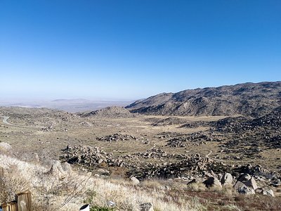
Reach the site via a moderate walk from the nearest road (566 meters). Ground conditions vary from stable desert to thermally altered, potentially unstable areas; tread carefully. Best visited October–April. The location sits within an active geothermal province; respect all warning signs and stay on established paths.
These mud volcanoes represent young geothermal features in the Salton Trough's incipient rift zone, where the San Andreas Fault system creates intense heat flow. The water chemistry and vigorous mud circulation indicate relatively shallow heat sources and recent (geologically) thermal activity.
Some links are affiliate links. We may earn a commission at no extra cost to you.
The Corn Springs Campground is located deep in a canyon of the Chuckwalla Mountains and has a $6.00 per night camping fee. Situated adjacent to a stand of California fan palms. This oasis supports abundant wildlife and is an important stopping place for migratory birds. Wheelchair accessible. Corn Springs was a major occupation site of prehistoric Native American Indian groups. The petroglyphs at Corn Springs are one of the finest examples of rock art in the Colorado Desert. They displ...
Mud Volcanoes is road-accessible, so you can bring more gear. Bring sun protection for exposed soaking.


As an Amazon Associate, we earn from qualifying purchases.
Springs Near Mud Volcanoes
Hike 1 waterfall near Mud Volcanoes
Looking for more outdoor adventures? Explore waterfall hikes near Mud Volcanoes, California.