Springs
This warm spring sits at 1,351 feet elevation on Bureau of Land Management public land near California's Nevada border, technically in Nevada's Nye County but close to California's Pahrump community and immediately adjacent to Death Valley Road. The spring emerges in one of North America's hottest and driest regions where the average annual temperature reaches 72°F.
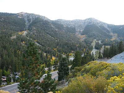
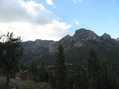
The stark desert landscape surrounding this spring presents quintessential Death Valley region character—sparse vegetation adapted to extreme aridity, exposed bedrock and alluvial fans, and vast vistas across unpopulated terrain. Annual precipitation totals just 4.2 inches with negligible snow, making this among the most arid inhabited regions in North America. The summer heat intensity creates a dramatically different season from winter's tolerable temperatures.
Access is straightforward, with the spring sitting just 60 meters from Death Valley Road's roadside access point. The extreme aridity and heat of this location demand careful planning: visit only during cooler months (October through March) when ambient temperatures remain manageable for outdoor activity. Summer temperatures frequently exceed 100°F, making that season dangerous for extended outdoor time. Bring ample water and sun protection regardless of season.
This spring taps into geothermal circulation through Basin and Range fault systems characteristic of the Death Valley region's extensional tectonics. The geological setting represents some of North America's most extreme geothermal gradients combined with its most arid climate. The nearby Death Valley's superlatives—lowest elevation, highest recorded temperatures—frame the regional context.
Some links are affiliate links. We may earn a commission at no extra cost to you.
Springs is road-accessible, so you can bring more gear. Bring sun protection for exposed soaking.


As an Amazon Associate, we earn from qualifying purchases.
Springs Near Springs
Hike 3 waterfalls near Springs
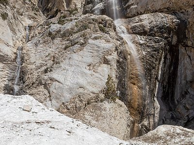
Looking for more outdoor adventures? Explore waterfall hikes near Springs, California.