Pagosa Hot Springs
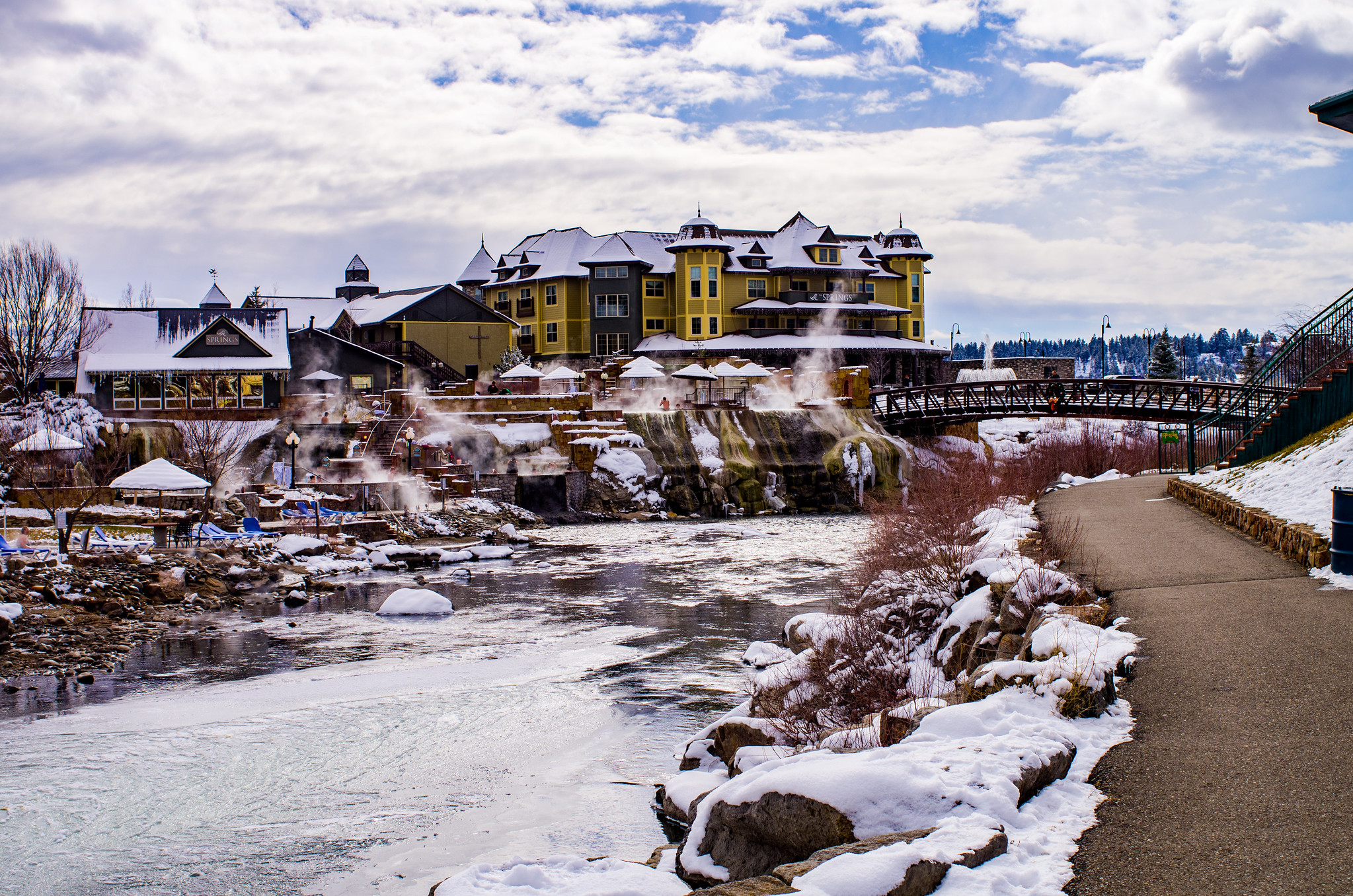
Pagosa Hot Springs holds local lore as the world's deepest known geothermal spring system, with thermal water emerging near roadside in Archuleta County at 7,100 feet. The 2,860 mg/L total dissolved solids and 58.3°C temperature create heavily mineralized water with high sulfate content of 1,520 mg/L.
The spring system surfaces within the San Juan Basin, where the town of Pagosa Springs developed directly around its geothermal resources. At roadside location just 29 feet from access points, the spring offers immediate visceral contact with intense thermal output. The surrounding landscape reflects high elevation mountain terrain with substantial annual precipitation.
Located on North 14th Street at roadside, this spring requires minimal walking and is accessible year-round despite 83 inches of annual snowfall. The East Fork Campground lies 17 kilometers away and offers riverside camping. Visit during shoulder seasons to avoid peak summer crowds. Parking and access are straightforward from town.
The Ute word 'Pah gosah' forms the spring's name, reflecting indigenous knowledge of this geothermal feature. The town's identity became inseparable from the spring system, with local promotion of the 'deepest' designation driving tourism and settlement patterns for over a century. Geological data confirms exceptional subsurface heat flow.
The water at Pagosa Hot Springs is slightly alkaline (pH 7.7) with 2860 mg/L total dissolved solids. It is notably rich in magnesium (known for muscle relaxation and stress relief), sodium (supports circulation and skin hydration), and sulfate (traditionally used for skin conditions and inflammation).
Some links are affiliate links. We may earn a commission at no extra cost to you.
Overview East Fork Campground is located 11 miles northeast of Pagosa Springs, just off U.S. Highway 160, along the East Fork Road. Visitors enjoy the area for its fishing, hiking and scenic opportunities.Recreation The East Fork offers plenty of fishing opportunities upstream from the campground. Trailheads for the Coal Creek Trail and the Quartz Ridge Trail are at Sand Creek, 2-5 miles beyond the campground. Facilities The campground offers several single-family sites, many with views of th...
Pagosa Hot Springs sits at 7,100 feet above sea level, way above the mile-high mark. You may not feel the altitude strongly, but hot water still dehydrates you faster at elevation. UV is about 28% stronger than at sea level, so bring sunscreen and drink more water than you normally would.


As an Amazon Associate, we earn from qualifying purchases.
Pagosa Hot Springs is road-accessible, so you can bring more gear. Cold air temperatures make a changing robe or warm layers essential.


As an Amazon Associate, we earn from qualifying purchases.
Springs Near Pagosa Hot Springs
Slightly Alkaline Springs (pH ~7.7)
Hike 6 waterfalls near Pagosa Hot Springs
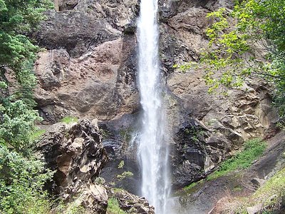
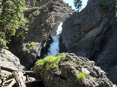
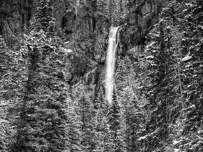
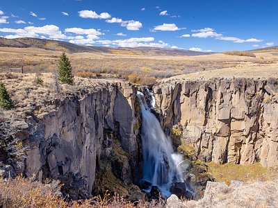
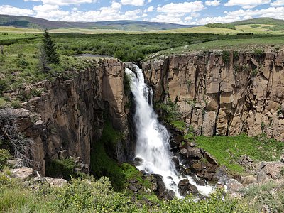
Looking for more outdoor adventures? Explore waterfall hikes near Pagosa Hot Springs, Colorado.