Splashland Hot Springs

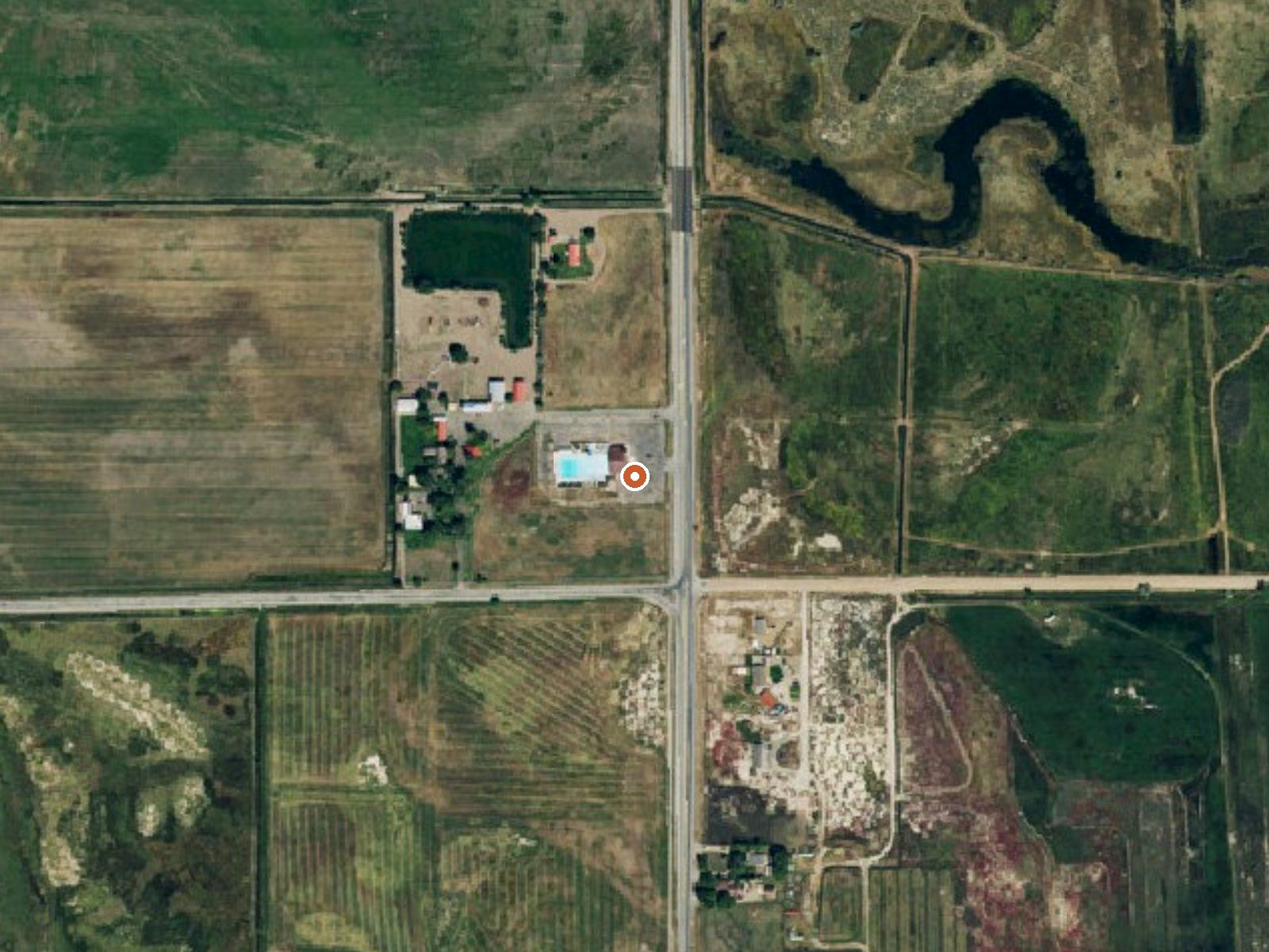
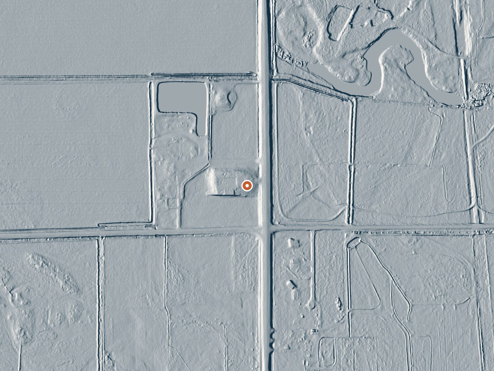
Drag the handle to compare the two views. The orange dot marks the spring, in a frame about three quarters of a mile wide.
Can you soak at Splashland Hot Springs?
Yes. Splashland Hot Springs is a developed hot spring with pools from 88 to 96°F. It sells day passes. It's open late May-mid Sep.
The USGS thermal record called Splashland Hot Springs sits in Alamosa County, a little over a mile from Alamosa East. No temperature is attached, so how hot the water runs is not something this page can tell you. A 1975 sample shows alkaline water. Ownership and access are blank. There is a Wikipedia page under the name but no extract came through.
Roadside: the record puts it a few dozen feet from the road. This is dry country, ten inches of precipitation a year and about two feet of snow. Elevation is high valley. Zapata Falls Campground, about seventeen miles out, is the camp on file. The owner and land unit columns are empty.
Nothing ranks a season here. With no temperature on record, confirm the water before planning a soak. Zapata Falls Campground, seventeen miles. Winters are comparatively light on snow here. Nobody has logged access, so check who runs the site. The chemistry is one sample from August 1975.
Aircraft with laser scanners measured this ground to within inches. The scan strips out trees and buildings, leaving the bare shape of the land around Splashland Hot Springs.
- Setting
- Open ground
- Flat, open ground all around.
- Highest ground nearby
- Level with the spring
- Within a quarter mile
Elevation data: USGS 3D Elevation Program. Aerial imagery: USGS The National Map. Public domain.
That's close to the US average of 65. It's higher than at 11% of the springs on this site.
Heat flow measures the warmth working its way up through the ground from deep inside the earth. Where it runs high, rain and snowmelt that seep down through cracks in the rock come back up hot.
See every spring on the geothermal heat map →
Heat flow estimate: Stanford Thermal Earth Model (Aljubran & Horne, 2024), CC BY 4.0.
The water at Splashland Hot Springs is slightly alkaline (pH 8.3).
Overview A short drive up the gravel road that leads to the Bureau of Land Management’s Zapata Falls Campground (CG) will let visitors to the area see the San Luis Valley and Great Sand Dunes National Park & Preserve from a whole new perspective. The campground offers bird’s-eye views of the valley floor below, the San Juan Mountains to the west, the adjacent Great Sand Dunes National Park and Preserve, and several 14er’s and many other towering peaks of the Sangre de Cristo Mountain range th...
Splashland Hot Springs sits at 7,543 feet above sea level, way above the mile-high mark. You may not feel the altitude strongly, but hot water still dehydrates you faster at elevation. UV is about 30% stronger than at sea level, so bring sunscreen and drink more water than you normally would.



As an Amazon Associate, we earn from qualifying purchases.
Springs Near Splashland Hot Springs
Slightly Alkaline Springs (pH ~8.3)
Hike 6 waterfalls near Splashland Hot Springs
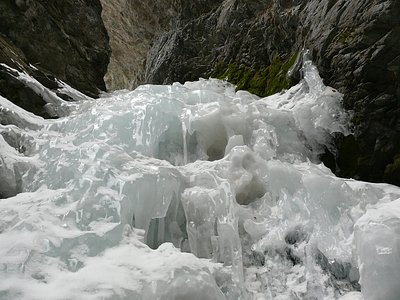
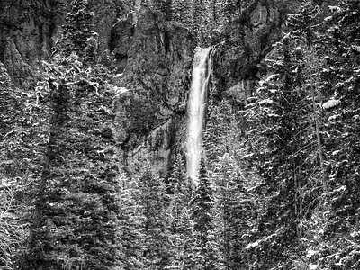
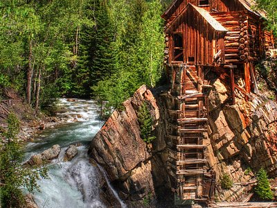
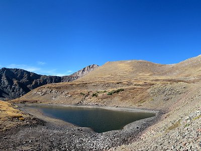
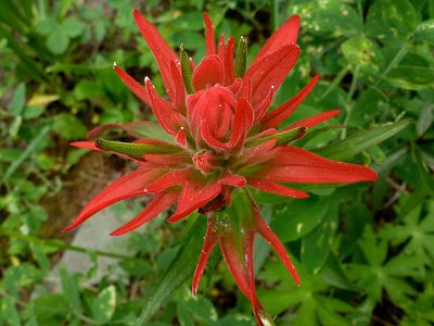
Looking for more outdoor adventures? Explore waterfall hikes near Splashland Hot Springs, Colorado.