Nat Soo Pah Warm Spring
Nat-Soo-Pah Warm Spring flows at a body-friendly 97°F in Twin Falls County, Idaho, on BLM land just 550 feet from Hoppers Gulch Road. At nearly 47 degrees above the local average air temperature, the water maintains comfortable soaking conditions across seasons at its 4,613-foot perch in southern Idaho's high desert.
The spring rises in dry, open country south of Twin Falls where volcanic tablelands give way to eroded gulches. Sagebrush and bunch grasses dominate the rolling terrain, and the Snake River Plain stretches north toward the distant Sawtooths. Annual precipitation barely tops 16 inches, with less than three feet of snow, creating an arid landscape where any water source becomes a focal point. Summer temperatures climb well above the spring's output, while winter visits offer the most dramatic contrast between cold air and warm water.
The spring is a quick 550-foot walk from Hoppers Gulch Road, accessible for all ability levels. Lower Penstemon Campground in the South Hills is the nearest developed camping at 15 miles, with reservable sites at 6,600 feet elevation along Rock Creek. The 97°F water temperature is comfortable for extended soaking without requiring any cooling. Bring drinking water and sun protection.
The name Nat-Soo-Pah derives from Shoshone language, reflecting the spring's long history of use by Indigenous peoples in the Snake River Plain. Geologically, the spring taps heat from the eastern Snake River Plain's volcanic plumbing, where the Yellowstone hotspot's passage left residual thermal energy in the subsurface. The 97°F temperature suggests a shallower circulation system than Idaho's hotter springs, drawing warmth from the elevated geothermal gradient without reaching extreme depths.
Some links are affiliate links. We may earn a commission at no extra cost to you.
Overview Lower Penstemon Campground is located along the scenic Rock Creek Road, in southern Idaho, at an elevation of 6,600 feet. Visitors come to the area to enjoy its abundant trails and natural beauty.Recreation Hiking, mountain biking, horseback riding and off-road vehicle trails crisscross the surrounding area. Third Fork, Pike Mountain, Rim View and Porcupine Spring trails all begin nearby. Rock Creek runs along the campground, offering good trout fishing.Facilities The campground cont...
Nat Soo Pah Warm Spring is road-accessible, so you can bring more gear.


As an Amazon Associate, we earn from qualifying purchases.
Springs Near Nat Soo Pah Warm Spring
More Springs Around 97°F
Hike 6 waterfalls near Nat Soo Pah Warm Spring
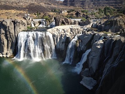
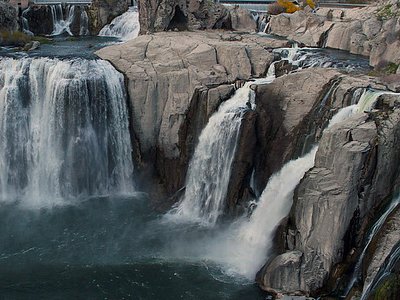
Looking for more outdoor adventures? Explore waterfall hikes near Nat Soo Pah Warm Spring, Idaho.