Unnamed Thermal Spring
This unnamed thermal spring flows with unmeasured 'hot' temperature at 6,836 feet elevation in Nye County, where USGS analysis documented 35°C water with low mineralization at 187 mg/L total dissolved solids, accessible via 1,239-meter walk across BLM Tonopah Field Office land.
Located in high desert terrain receiving 9.4 inches of precipitation and 38.5 inches of snow annually, the spring emerges in landscape averaging 48.1°F where elevation creates four-season conditions. The mildly alkaline pH of 7.5 and minimal calcium of 6.4 mg/L with moderate sodium at 49 mg/L suggest relatively short circulation paths. Surrounding sagebrush-covered federal land extends across open basins subject to multiple-use management.
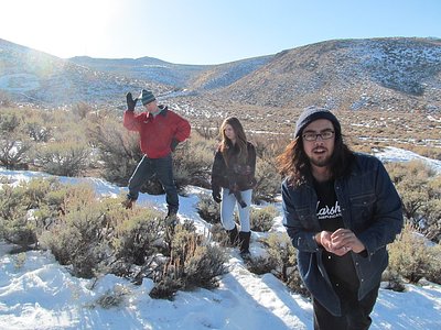
The three-quarter-mile walk crosses open BLM land at nearly 7,000 feet elevation where winter snow can be substantial and summer sun intense. The relatively low temperature documented by USGS suggests warm rather than scalding water. Check with Tonopah Field Office regarding current land use before visiting.
Available records contain no name or development history for this spring near Tonopah. The designation as hot without specific temperature measurement indicates it was cataloged during surveys but not targeted for detailed study or recreational development.
The water at This spring is slightly alkaline (pH 7.5) with 187 mg/L total dissolved solids.
Some links are affiliate links. We may earn a commission at no extra cost to you.
this spring sits at 6,836 feet above sea level, way above the mile-high mark. You may not feel the altitude strongly, but hot water still dehydrates you faster at elevation. UV is about 27% stronger than at sea level, so bring sunscreen and drink more water than you normally would.


As an Amazon Associate, we earn from qualifying purchases.
this spring is road-accessible, so you can bring more gear.


As an Amazon Associate, we earn from qualifying purchases.
Springs Near This Spring
Slightly Alkaline Springs (pH ~7.5)
Hike 1 waterfall near this spring
Looking for more outdoor adventures? Explore waterfall hikes near this spring, Nevada.