Mount Hood Fumaroles
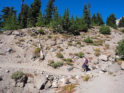
Mount Hood Fumaroles vent at 194°F from the flanks of Oregon's highest peak, among the state's most extreme geothermal features. Located at 10,792 feet elevation in the Mount Hood National Forest, these volcanic steam vents run 175 degrees above ambient air temperature and require a serious 4,117-meter hike—over 2.5 miles—placing them in true mountaineering territory.
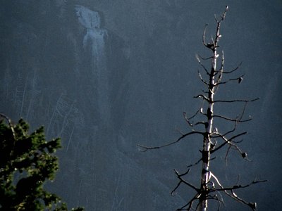
The fumaroles emerge high on Mount Hood's slopes in Clackamas County, surrounded by glaciers, snowfields, and volcanic rock in an alpine environment receiving 64.7 inches of annual precipitation and 199 inches of snow. The annual average air temperature at this elevation measures just 18.9°F, creating a harsh, ice-bound landscape where thermal vents create surreal contrasts of steam against snow. Subalpine forest gives way to rock and ice above timberline. The Cascade volcanic arc underlies this region.
Attempt access only in summer climbing season, July through September; winter conditions prove deadly. Mountaineering skills, ice axes, crampons, and high-altitude experience are mandatory. Register climbing plans with authorities. The 4,900-meter proximity to Tilly Jane Guard Station makes that historic cabin a potential base for acclimatization. Weather changes rapidly at this elevation; turn back if conditions deteriorate. These features exist in an active volcanic hazard zone.
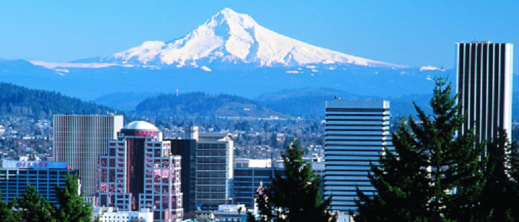
Mount Hood, Oregon's tallest peak at 11,240 feet, remains an active stratovolcano with ongoing geothermal activity. The fumaroles represent volcanic degassing from the magmatic system beneath the mountain. Indigenous peoples considered the peak sacred; Euro-American climbers began documenting the thermal features in the late 19th century. The fumaroles periodically increase activity, monitored by the USGS as indicators of volcanic status. Several climbers have died near the thermal areas over the decades.
Some links are affiliate links. We may earn a commission at no extra cost to you.
Overview Tilly Jane Guard Station is an ideal getaway for individuals and families who enjoy the great outdoors in the beautiful Pacific Northwest. It is one of the oldest structures on Mt. Hood and provides shelter for warmth and an escape from the elements while participating in a variety of activities, specifically winter-related recreation. During the winter months it serves as a winter retreat for visitors hardy enough to access the cabin from the Tilly Jane Sno-Park. The Guard Station c...
Mount Hood Fumaroles sits at 10,792 feet — well above 10,000 ft where the air holds roughly 30% less oxygen than at sea level. Altitude sickness (headache, nausea, dizziness) is a real risk, especially when combined with the dehydrating effects of hot water. UV exposure is approximately 43% stronger than at sea level. Acclimate for at least 24 hours before soaking, drink extra water, and descend if symptoms worsen.


As an Amazon Associate, we earn from qualifying purchases.
Mount Hood Fumaroles is road-accessible, so you can bring more gear. The water is dangerously hot — bring water shoes and test pools carefully. Cold air temperatures make a changing robe or warm layers essential.


As an Amazon Associate, we earn from qualifying purchases.
Springs Near Mount Hood Fumaroles
More Springs Around 194°F
Hike 6 waterfalls near Mount Hood Fumaroles
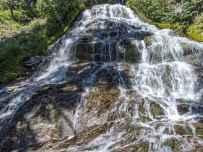
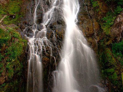
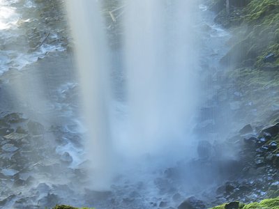
Looking for more outdoor adventures? Explore waterfall hikes near Mount Hood Fumaroles, Oregon.