Springs

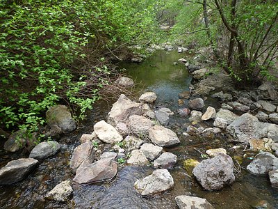
This thermal feature designated simply as Springs emerges at 2,660 feet elevation in Malheur County near Vale. The springs flow at an unrecorded warm temperature, requiring a 127-meter walk from Swimming Pool Road in Oregon's high desert lowlands.
The springs emerge in arid terrain at 2,660 feet, where big sagebrush dominates valley floors. Annual precipitation totals just 9.4 inches with minimal snow. The landscape features flat to gently rolling desert surrounding Vale, an agricultural community in the Malheur River drainage. Irrigated fields contrast with surrounding rangeland. The proximity to Swimming Pool Road suggests historical recreational interest.
The 127-meter walk from Swimming Pool Road is straightforward across open terrain. Best visiting is April through October when weather is moderate. The low elevation and minimal snow allow year-round access theoretically, though summer heat exceeds 95°F regularly. The unrecorded temperature and generic name suggest modest flow or appeal to modern visitors.
The generic Springs designation and nearby Swimming Pool Road suggest local recreational use historically, though no commercial development is documented. The road name indicates community swimming holes, possibly fed by these thermal waters. No formal resort or documented Indigenous use appears in available records. Current status is undeveloped seep on mixed-use land.
Some links are affiliate links. We may earn a commission at no extra cost to you.
Springs is road-accessible, so you can bring more gear.


As an Amazon Associate, we earn from qualifying purchases.
Springs Near Springs
Hike 1 waterfall near Springs
Looking for more outdoor adventures? Explore waterfall hikes near Springs, Oregon.