Castilla Springs
Castilla Springs flows at 104°F near Mapleton with exceptionally high mineralization of 6,610 mg/L TDS, featuring elevated sodium, sulfate, and particularly high chloride concentrations reaching 2,320 mg/L.
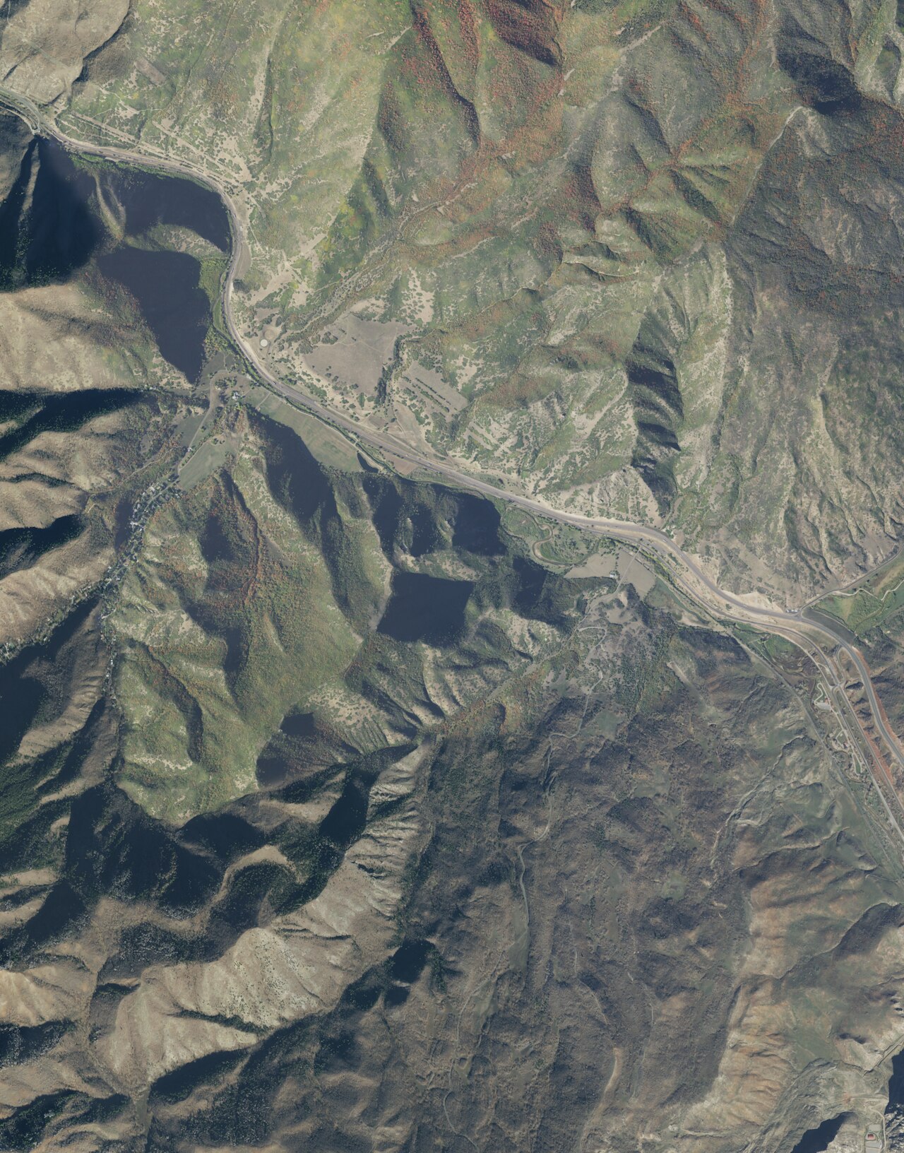
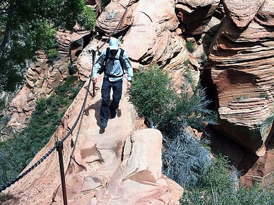
Located at 4,920 feet elevation in the transition zone between Utah Valley and the Wasatch Mountains east of Mapleton, the spring emerges where mountain canyons meet foothill benches. Surrounding terrain features oak-maple brushlands and scattered pines characteristic of the Wasatch foothills, with mountain streams draining nearby canyons. The area receives substantial winter snowpack averaging 72.3 inches annually alongside 19 inches of total precipitation. The spring sits 154 meters from the nearest road in a relatively undeveloped foothill setting.
Access requires a short walk from the nearest road. The highly mineralized water is not potable. Best visited during late spring through fall when foothill access roads are passable; winter snows can make approach difficult. Diamond Campground offers developed facilities 9.3 kilometers away. The extreme mineral content makes this spring primarily of scientific interest rather than recreational use.
The Castilla name likely derives from Spanish-era place naming common in Utah County, though specific origin documentation is scarce. The spring's location in traditional Ute territory suggests long-standing Indigenous awareness, but written records of early Euro-American use are limited. No major commercial development is documented, and the spring appears to have remained largely unmodified.
The water at Castilla Springs is slightly alkaline (pH 7.9) with 6610 mg/L total dissolved solids. It is notably rich in calcium (may support bone density and joint health), magnesium (known for muscle relaxation and stress relief), and sodium (supports circulation and skin hydration).
Some links are affiliate links. We may earn a commission at no extra cost to you.
Overview Diamond Campground is located among shady cottonwoods and willow at an elevation of 5,200 feet. The family sites are located just 15 miles from Spanish Fork and the group sites are 2-3 miles further. Visitors enjoy exploring local trails and relaxing along the stream.Recreation The stream and creek offer fishing for brown and cutthroat trout. An interpretive nature trail winds through the campground along the stream. Hiking, biking and off-road vehicle trails are abundant in the area...
Castilla Springs is road-accessible, so you can bring more gear.


As an Amazon Associate, we earn from qualifying purchases.
Springs Near Castilla Springs
More Springs Around 104°F
Slightly Alkaline Springs (pH ~7.9)
Hike 6 waterfalls near Castilla Springs
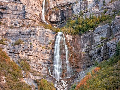
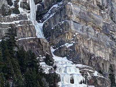
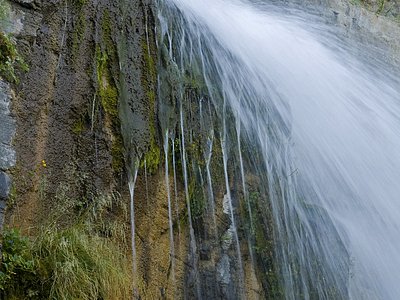
Looking for more outdoor adventures? Explore waterfall hikes near Castilla Springs, Utah.