Woodhouse Spring
Rising at 72 degrees Fahrenheit in Beaver County's desert highlands, Woodhouse Spring emerges 21.6 degrees above ambient at 6,160 feet elevation on Bureau of Land Management lands near Milford. A short walk of 532 meters from the nearest road provides access. Water shows moderate mineralization with 720 mg/L total dissolved solids and neutral to alkaline pH of 7.7. Open public access on Cedar City Field Office lands.
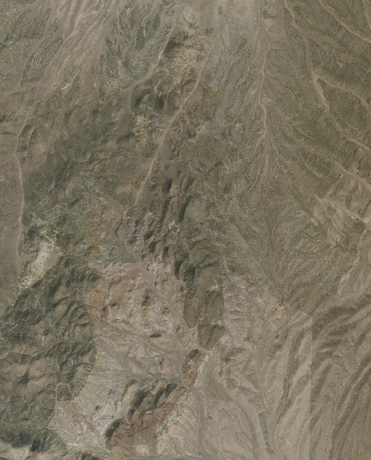
The spring flows in elevated semi-arid terrain where pinyon-juniper woodland transitions to sagebrush valleys, with average annual temperatures of 50.4 degrees Fahrenheit. Precipitation totals just 9 inches annually with 26 inches of snowfall, creating high desert conditions characteristic of western Utah. The landscape consists of broad basins and low ranges typical of the Basin and Range province, with the Mineral Mountains to the southwest and the Tushar Range to the northeast. BLM public lands dominate the area, supporting ranching and recreation.
BLM open access policies allow year-round visits, though elevation and latitude create cold winters with snow from November through March. Spring and fall offer optimal conditions with moderate temperatures and low precipitation. The 532-meter walk from the nearest road requires navigating unimproved terrain across sagebrush and rocky ground. Hanging Rock Campground, 33.5 kilometers away along the Beaver River, provides the nearest developed camping. Bring all necessary water and supplies for this remote site.
The spring's name likely commemorates an early rancher, homesteader, or explorer in the region, though specific documentation is not available. Milford emerged as a railroad town in 1880, serving regional mining and ranching operations. The area saw limited settlement compared to more water-rich valleys to the east. Federal land retention under BLM management has maintained open access to springs and other features across the landscape.
The water at Woodhouse Spring is slightly alkaline (pH 7.7) with 720 mg/L total dissolved solids. It is notably rich in magnesium (known for muscle relaxation and stress relief) and chloride (natural antiseptic with skin health benefits).
Some links are affiliate links. We may earn a commission at no extra cost to you.
Overview Hanging Rock Campground is located just off of Highway 21 between the towns of Beaver and Minerville, UT. The campground has six campsites all located alongside the scenic Beaver River. Along with the scenery that the river provides, it also offers what many consider to be the best fising in Beaver County. Recreation The Beaver River provides opportunity for year-round fishing. The Paiute ATV Trail and Beaver Bench Mountain Bike Trail System are located just down the road in Beaver,...
Woodhouse Spring sits at 6,160 feet above sea level, way above the mile-high mark. You may not feel the altitude strongly, but hot water still dehydrates you faster at elevation. UV is about 25% stronger than at sea level, so bring sunscreen and drink more water than you normally would.


As an Amazon Associate, we earn from qualifying purchases.
Woodhouse Spring is road-accessible, so you can bring more gear.


As an Amazon Associate, we earn from qualifying purchases.