Gamma Hot Springs
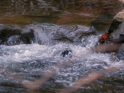
Gamma Hot Springs produces 140-degree water at 5,397 feet elevation in the Mt. Baker National Forest, emerging 104.6 degrees above ambient temperature in remote Snohomish County wilderness. This intensely hot spring requires a 14.2-kilometer backcountry journey from Suiattle River Road, placing it among the most remote thermal features in the North Cascades with access limited to experienced wilderness travelers.
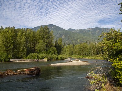
The spring occupies mid-elevation terrain in the heavily glaciated North Cascades, surrounded by old-growth Douglas fir forest transitioning to subalpine vegetation zones. The site experiences extreme precipitation with 85.3 inches of rain and 440.9 inches of snow annually, creating dense forest cover and year-round snow at higher elevations nearby. Glacial streams and steep-sided valleys dominate the landscape, with the Suiattle River system draining westward through some of Washington's most rugged mountain terrain toward Puget Sound lowlands.
Plan visits for late July through September when snowpack melts sufficiently for trail access and creek crossings become manageable. The 14-kilometer approach requires strong backcountry skills, wilderness navigation ability, and appropriate camping gear for multi-day trips. Average annual temperature of 35.4 degrees means freezing conditions occur even in summer at night. The 440.9 inches of annual snow creates serious avalanche hazard during spring. Sulphur Creek Campground 14.7 kilometers away offers primitive camping as a staging point.
Documentation of Gamma Hot Springs in published sources remains limited, though the name follows the pattern of Greek-letter naming used for other thermal features in the Cascade Range. The spring sits within traditional territories of Upper Skagit peoples, though specific Indigenous knowledge of this particular feature has not been recorded in accessible historical documents. The area saw limited exploration during early Forest Service surveys but remains largely unvisited due to distance and difficulty of access.
Some links are affiliate links. We may earn a commission at no extra cost to you.
Overview Sulphur Creek Campground is a primitive site in a beautiful forest along the banks of the scenic Suiattle River and Sulpher Creek. It is a remote haven set amongst towering old growth Douglas fir trees in the Mt. Baker-Snoquamie National Forest. Hikers frequently camp here to explore the many trails surrounding the facility. It has moderate, enjoyable summer temperatures throughout the camping season.Recreation The biggest draw to Sulphur Creek Campground is hiking. The well-known...
Gamma Hot Springs sits at 5,397 feet above sea level, way above the mile-high mark. You may not feel the altitude strongly, but hot water still dehydrates you faster at elevation. UV is about 22% stronger than at sea level, so bring sunscreen and drink more water than you normally would.


As an Amazon Associate, we earn from qualifying purchases.
Gamma Hot Springs requires a hike to reach, so pack light but prepared. The water runs hot, so extra hydration is key. Cold air temperatures make a changing robe or warm layers essential.


As an Amazon Associate, we earn from qualifying purchases.
Springs Near Gamma Hot Springs
More Springs Around 140°F
Hike 6 waterfalls near Gamma Hot Springs
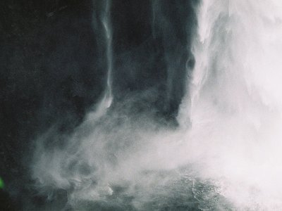
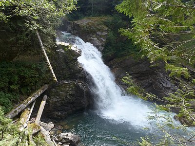
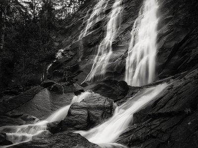
Looking for more outdoor adventures? Explore waterfall hikes near Gamma Hot Springs, Washington.