Alpine Warm Spring


Drag the handle to compare the two views. The orange dot marks the spring, in a frame about three quarters of a mile wide.
Alpine Warm Spring comes up right at body temperature beside Palisades Reservoir in Teton County, Idaho. The record lists Hoback as the nearest town at no distance at all. Bureau of Reclamation land that the public may use, with US Highway 26 as the nearest road. Soaking warm, no hotter, and a good deal warmer than the air most of the year.
Less than a mile off US Highway 26, on reservoir land the Bureau of Reclamation manages. High valley, around fifty-five hundred feet. Winters are deep; eleven feet of snow falls in an average year, and the yearly mean sits in the low forties. Blowout Campground is a couple miles away. The walk is short.
The record names December through February as the best months, and the snowfall makes that a serious proposition. Plan on a short walk up from the highway. Blowout Campground sits about two miles off for an overnight. No fee is on file. The temperature was taken in 1977 and has not been updated on record since.
Aircraft with laser scanners measured this ground to within inches. The scan strips out trees and buildings, leaving the bare shape of the land around Alpine Warm Spring.
- Setting
- Open ground
- Flat, open ground all around.
- Highest ground nearby
- Level with the spring
- Within a quarter mile
Elevation data: USGS 3D Elevation Program. Aerial imagery: USGS The National Map. Public domain.
That's about 1½ times the US average of 65. It's higher than at 55% of the springs on this site.
Heat flow measures the warmth working its way up through the ground from deep inside the earth. Where it runs high, rain and snowmelt that seep down through cracks in the rock come back up hot.
See every spring on the geothermal heat map →
Heat flow estimate: Stanford Thermal Earth Model (Aljubran & Horne, 2024), CC BY 4.0.
The water at Alpine Warm Spring is slightly acidic (pH 6.5). It is notably rich in calcium (may support bone density and joint health), magnesium (known for muscle relaxation and stress relief), and sodium (supports circulation and skin hydration).
Some links are affiliate links. We may earn a commission at no extra cost to you.
5700-foot elevation. 30 campsites on the east side of Palisades Reservoir. Excellent for RVs and large boats and trailers. Second largest boating facility on the reservoir. Forested sites available on top of the hill. RV sites at reservoir shoreline next to boat ramp. We are working to update this page. Please visit the website below for more information.
Alpine Warm Spring sits at 5,580 feet above sea level, way above the mile-high mark. You may not feel the altitude strongly, but hot water still dehydrates you faster at elevation. UV is about 22% stronger than at sea level, so bring sunscreen and drink more water than you normally would.



As an Amazon Associate, we earn from qualifying purchases.
Alpine Warm Spring is road-accessible, so you can bring more gear. Cold air temperatures make a changing robe or warm layers essential.






As an Amazon Associate, we earn from qualifying purchases.
Springs Near Alpine Warm Spring
More Springs Around 99°F
Slightly Acidic Springs (pH ~6.5)
Hike 6 waterfalls near Alpine Warm Spring
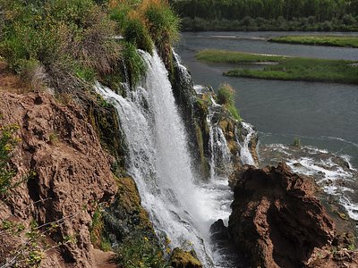
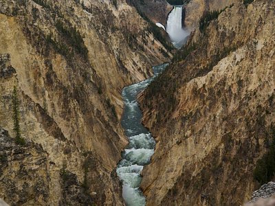
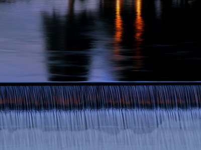
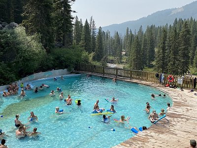
Looking for more outdoor adventures? Explore waterfall hikes near Alpine Warm Spring, Idaho.