Weir Creek Hot Springs
Weir Creek Hot Springs surfaces at 117°F with strongly alkaline water (pH 9.4) in Idaho's Clearwater National Forest. Located at 2,885 feet on federal land, the spring requires a short walk of about 636 meters from the nearest road. Sodium-dominant chemistry with minimal calcium and magnesium points to deep volcanic circulation through granitic bedrock.
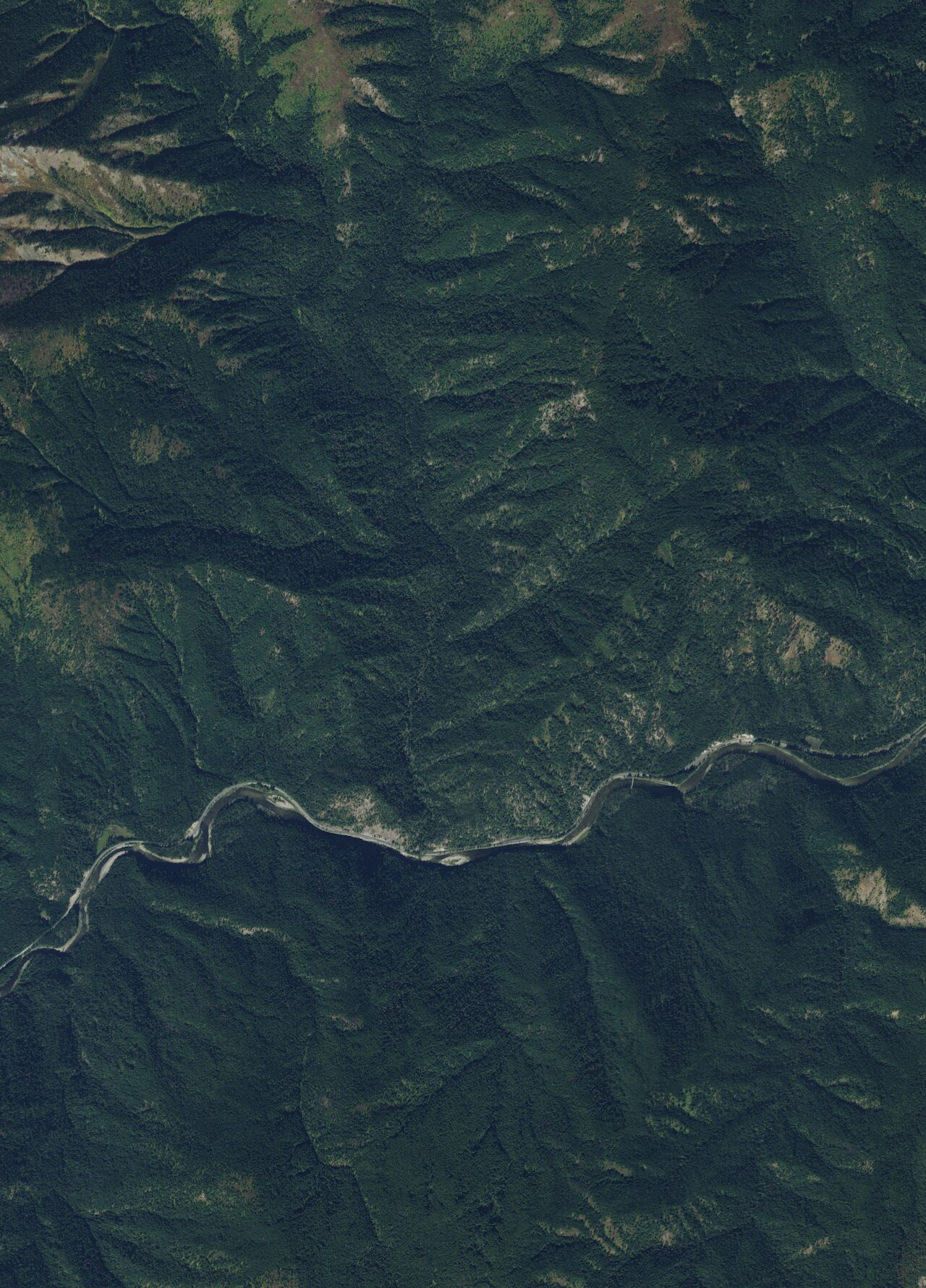
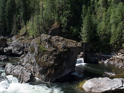
The spring sits in the densely forested mountains of northern Idaho's Clearwater drainage, where annual precipitation exceeds 48 inches and snowfall averages over 209 inches. Thick stands of western red cedar, Douglas fir, and grand fir blanket the surrounding slopes at this elevation. The terrain is steep and creek-cut, with Weir Creek carving through the narrow canyon below. Superior, the nearest town, lies across the Mineral County landscape to the west.
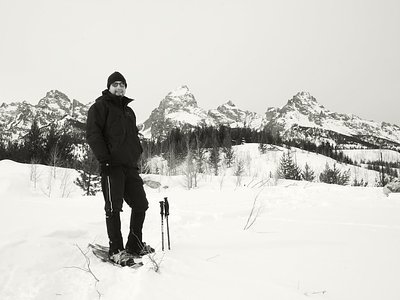
Heavy snowfall buries this area from November through April, making summer and early fall the practical soaking season. The 636-meter trail from the road can be slippery and steep. Bring water shoes for creek crossings. No facilities exist on site. Castle Butte Lookout is reservable for overnight stays and provides a high-elevation base camp for exploring the region.
The spring takes its name from Weir Creek, along which it emerges. Castle Butte Lookout, a fire lookout cabin first built in 1916 and rebuilt in 1950, stands about 14.5 kilometers away at 6,659 feet, reflecting the long US Forest Service presence in the area. The spring remains undeveloped and publicly accessible on National Forest land, drawing soakers who build informal rock pools along the creek.
The water at Weir Creek Hot Springs is alkaline (pH 9.4).
Some links are affiliate links. We may earn a commission at no extra cost to you.
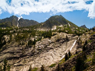
Overview Castle Butte Lookout is a unique cabin perched on a rocky point, 6,659 feet above sea level. It offers breathtaking, 360-degree views of the Selway-Bitterroot Wilderness, the Seven Devils Mountains, the Great Burn area and the deep canyons of the North Fork Clearwater River's upper drainages. A cabin was first constructed on this site in 1916 and was replaced in 1928 with a log cabin featuring a cupola. The current lookout was built in 1950. Access to the lookout is via the Lolo M...
Weir Creek Hot Springs is road-accessible, so you can bring more gear. The water runs hot, so extra hydration is key.


As an Amazon Associate, we earn from qualifying purchases.
Springs Near Weir Creek Hot Springs
More Springs Around 117°F
Alkaline Springs (pH ~9.4)
Hike 6 waterfalls near Weir Creek Hot Springs
Looking for more outdoor adventures? Explore waterfall hikes near Weir Creek Hot Springs, Idaho.