Stanley Hot Springs


Can you soak at Stanley Hot Springs?
Yes. Stanley Hot Springs has natural, undeveloped pools that run at 106°F. Soaking is free. It's open Jun-Oct best. Reaching it takes a hike.
Stanley Hot Springs is a series of thermal springs in the Clearwater National Forest, reached by hiking close to three miles from Wilderness Gateway Loop A. The listing puts it in Lewis County with Kamiah the nearest town at 37 miles. Wikipedia places it inside the Selway-Bitterroot Wilderness in Idaho County. The water is hot, around 120 degrees. Access is open.
About 3,600 feet, and wet. Annual precipitation tops fifty inches and snowfall averages over 200 inches, so this is damp mountain country with long winters. Forest Service land throughout, National Forest designation, nothing recorded about a fee. The nearest road is a campground loop, and the hike in from it is roughly three miles.
Wilderness Gateway campground sits about three miles off, the same distance as the road. December through February are on file as best months, though with the snow that falls here that will be a snow trek. Hot water at 120 degrees can scald with time. If Wikipedia's placement inside the wilderness is right, wilderness regulations apply.
Wikipedia describes Stanley Hot Springs as a series of thermal springs in the Selway-Bitterroot Wilderness. The USGS tracks it as a site, and OpenStreetMap uses the same name.
Aircraft with laser scanners measured this ground to within inches. The scan strips out trees and buildings, leaving the bare shape of the land around Stanley Hot Springs.
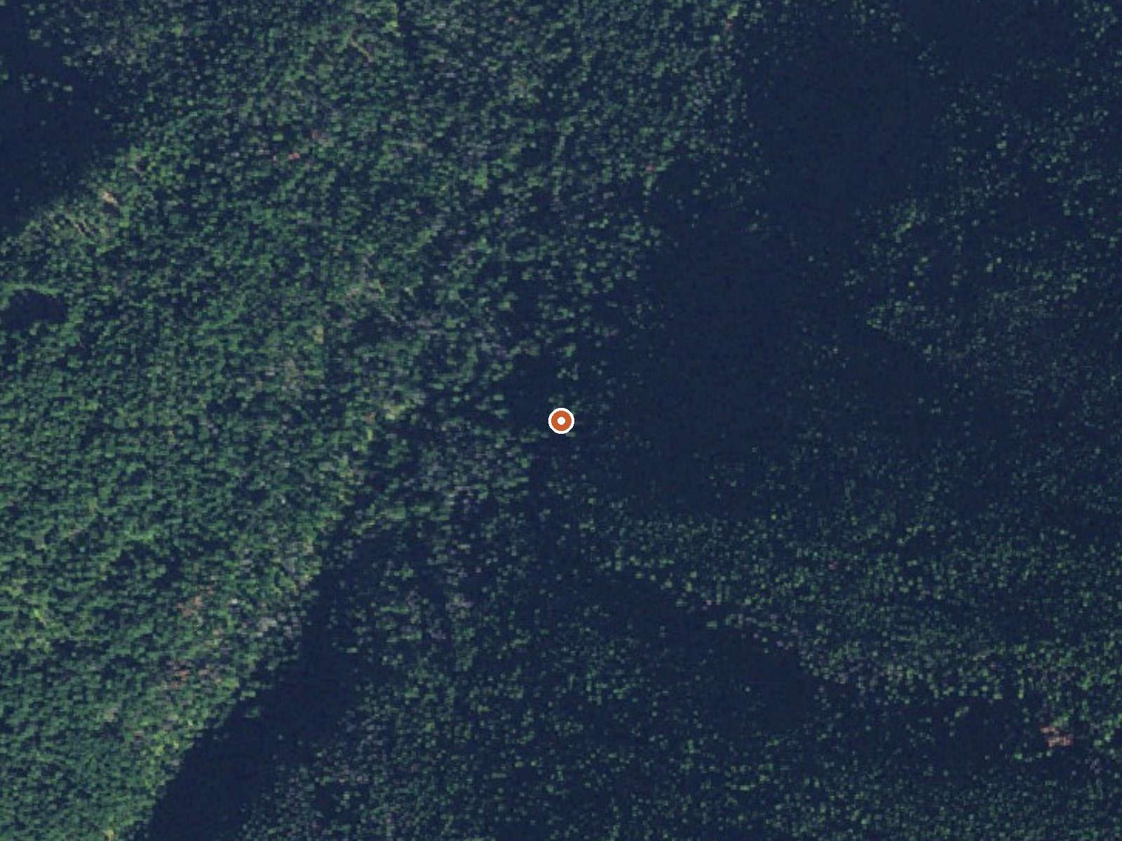
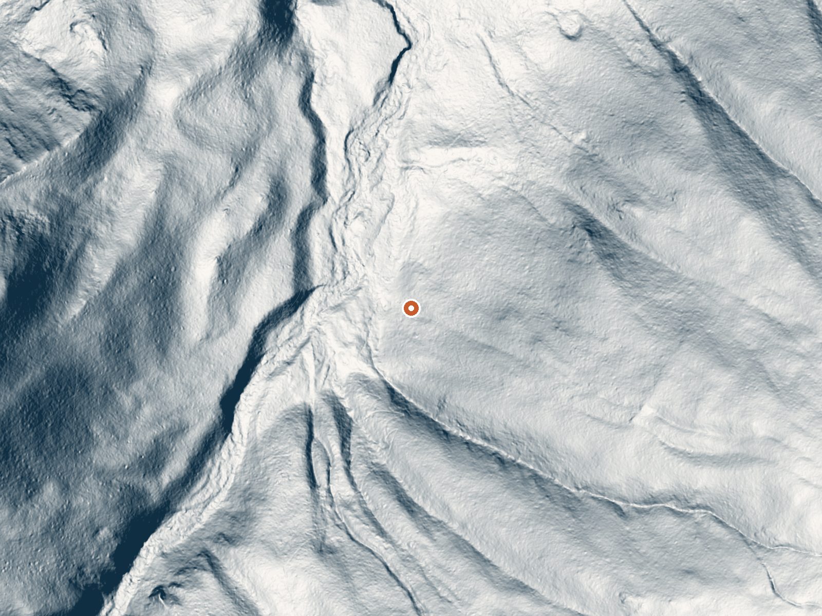
Drag the handle to compare the two views. The orange dot marks the spring, in a frame about three quarters of a mile wide.
- Setting
- Hillside
- The spring sits on a steep slope that climbs to the southeast.
- Highest ground nearby
- 846 ft above the spring
- Within a quarter mile, to the southeast
A slice through the ground from northwest to southeast, about 0.6 miles end to end.
Elevation data: USGS 3D Elevation Program. Aerial imagery: USGS The National Map. Public domain.
That's close to the US average of 65. It's higher than at 13% of the springs on this site.
Heat flow measures the warmth working its way up through the ground from deep inside the earth. Where it runs high, rain and snowmelt that seep down through cracks in the rock come back up hot.
See every spring on the geothermal heat map →
Heat flow estimate: Stanford Thermal Earth Model (Aljubran & Horne, 2024), CC BY 4.0.
Some links are affiliate links. We may earn a commission at no extra cost to you.
Overview Wilderness Gateway Campground provides direct access to the Wild and Scenic Lochsa River. Visitors enjoy a variety of recreational opportunities, including world famous whitewater rafting. Hiking and horseback riding trails abound in the nearby Selway-Bitterroot Wilderness area, which is the 3rd-largest in the lower 48 United States. This large and unique campground offers respite for a variety of campers, including those with horses, horse trailers and RVs.Recreation The Lochsa...
Stanley Hot Springs is road-accessible, so you can bring more gear. The water runs hot, so extra hydration is key.




As an Amazon Associate, we earn from qualifying purchases.
Springs Near Stanley Hot Springs
More Springs Around 120°F
Hike 6 waterfalls near Stanley Hot Springs
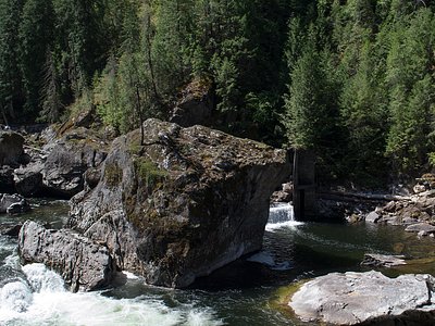
Looking for more outdoor adventures? Explore waterfall hikes near Stanley Hot Springs, Idaho.