Little Warm Springs

Blaine County, Montana · Near Fort Belknap Agency
47.9710°N, 108.3950°W · 3,340 ft
73°F 3,340 ft Unknown Short Walk DESG Camping nearby (6.1 mi)

Little Warm Springs flows at 73°F on the Fort Belknap Reservation in Blaine County, Montana, at 3,340 feet elevation. The water is sulfate-calcium dominant, with 940 mg/L sulfate and 280 mg/L calcium, indicating a heavily mineralized source. Access requires a short walk of 272 meters from the nearest road. Public access status is unknown; the spring is on tribal land.

Location
14 miles from Fort Belknap Agency, MT

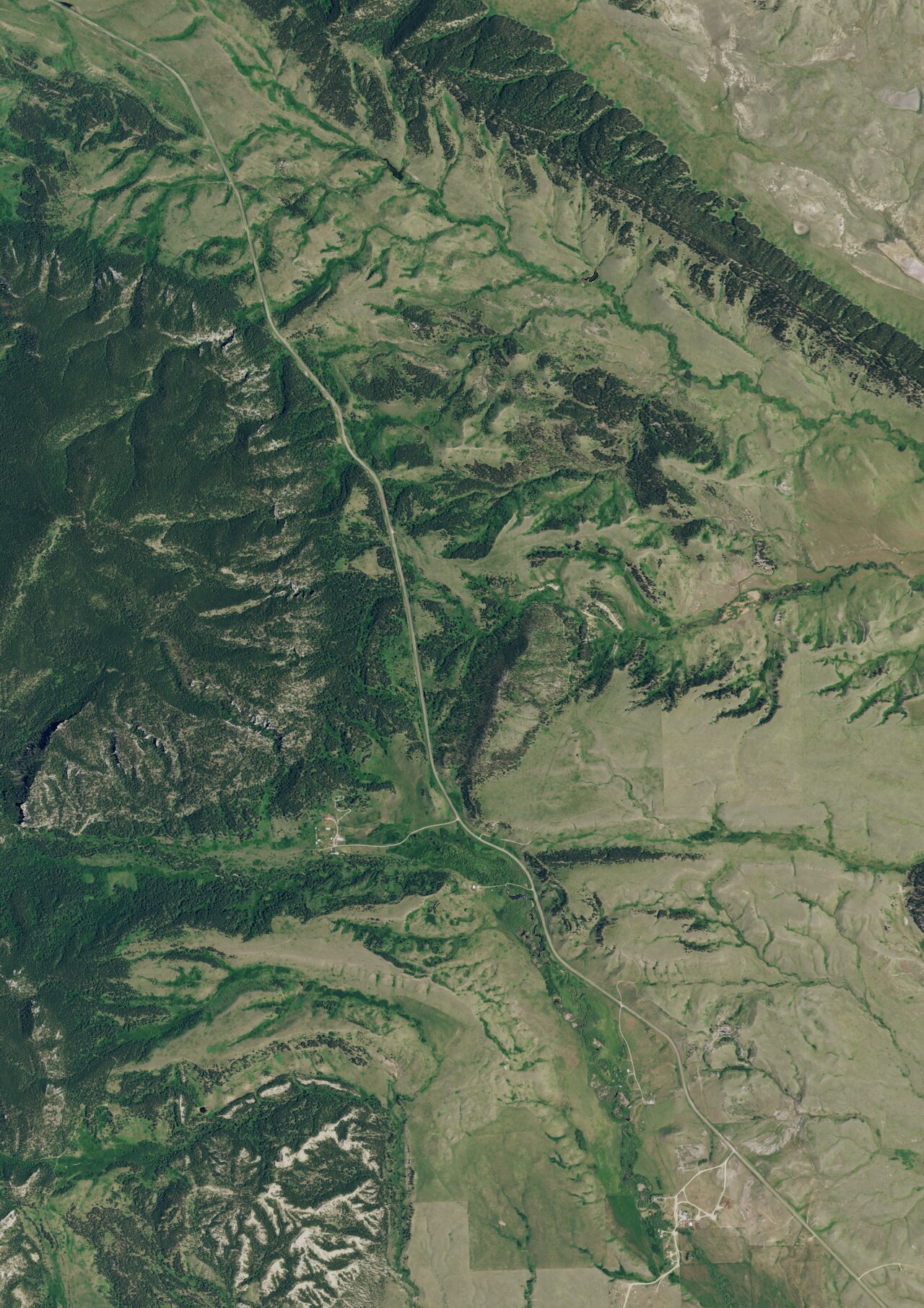
The spring emerges on the northern flank of the Little Rocky Mountains, where the isolated volcanic range drops toward the open plains of north-central Montana. At 3,340 feet, the landscape transitions from scattered ponderosa pine on rocky slopes to short-grass prairie. The Milk River drainage lies to the north across flat, wind-swept rangeland. Annual precipitation is modest at 19 inches with 42 inches of snow, characteristic of the semi-arid northern plains. The Missouri River breaks country extends to the south.

Contact the Fort Belknap Indian Community to determine whether access is permitted and what protocols apply. Do not visit without tribal authorization. If permitted, the 272-meter walk from the road is straightforward but unimproved. The 73°F water temperature is too cool for soaking in anything but warm weather. Camp Creek Campground is first-come, first-served. Bring all supplies; services are limited to Zortman or Fort Belknap Agency.

History of Little Warm Springs

Little Warm Springs lies within the Fort Belknap Reservation, homeland of the Aaniiih (Gros Ventre) and Nakoda (Assiniboine) peoples, who have long known the thermal features in the Little Rocky Mountains. The springs' cultural significance to these communities predates Euro-American contact. Specific historical documentation about this particular spring in published sources is limited. The site remains undeveloped. Camp Creek Campground, 9.8 km away in the Little Rockies, is the nearest public recreation facility.

Monthly Climate
23°
Jan
21°
Feb
32°
Mar
42°
Apr
53°
May
62°
Jun
71°
Jul
70°
Aug
59°
Sep
45°
Oct
33°
Nov
24°
Dec
Annual Precip: 19.1 in Annual Snow: 41.8 in
Best Time to Visit
February Air 21°F · Water 73°F · +52° contrast
January Air 23°F · Water 73°F · +50° contrast
December Air 24°F · Water 73°F · +49° contrast
February offers 50°F more contrast than July
Current Conditions
49°F
NW 43.2 mph 49% Good soaking weather
Today 66° Low 46° Chance Showers And Thunderstorms 53% precip
Spring is +7° warmer
Friday 72° Low 51° Chance Showers And Thunderstorms 27% precip
Spring is +1° warmer
Saturday 60° Low 44° Chance Rain Showers then Mostly Cloudy 50% precip
Spring is +13° warmer
Sunday 74° Low 55° Sunny
Monday 72° Low 50° Mostly Sunny 2% precip
Spring is +1° warmer
Water Chemistry Sampled 1973-10-04

The water at Little Warm Springs is slightly alkaline (pH 7.9) with 1550 mg/L total dissolved solids. It is notably rich in calcium (may support bone density and joint health), magnesium (known for muscle relaxation and stress relief), and sulfate (traditionally used for skin conditions and inflammation).

pH 7.9 Slightly Alkaline
pH influences mineral absorption through skin
Higher mineral concentration for therapeutic soaking
Calcium 280 mg/L
May support bone density and joint health
Magnesium 91 mg/L
Known for muscle relaxation and stress relief
Sodium 66 mg/L
Supports circulation and skin hydration
Sulfate 940 mg/L
Traditionally used for skin conditions and inflammation
Chloride 42 mg/L
Natural antiseptic with skin health benefits
Where to Stay

Some links are affiliate links. We may earn a commission at no extra cost to you.

Nearby Camping
Camp Creek Campground 6.1 mi away

Camp Creek Recreation Area, located in the scenic Little Rockies, consists of Camp Creek Campground, Horse Corral Campground, and Buffington Day Use Area. A system of trails leads from the main campground, making this a popular destination for hikers, birders and OHV enthusiasts. Several small bass and trout fisheries are located within 30-minutes drives. The nearby town of Zortman offers a store, restaurant, fuel, and gold panning opportunities. This is a Watchable Wildlife area as well as a...

Reserve on Recreation.gov →
Temperature
73°F
Warm Hot Boiling
Water Temp 73°F (23°C)
Avg Air Temp 45°F
Above Ambient +28°F
Mild soaking conditions May
Access
Unknown
Road Access Short Walk
Distance to Road 0.2 mi
Land
Ownership DESG
Agency DESG
Designation Tribal Land
Unit Fort Belknap Reservation
Manager TRIB
Protection 4 - No known protection
Frequently Asked Questions
What is the water temperature at Little Warm Springs?
Little Warm Springs has a water temperature of 73°F (23°C). This is a warm thermal spring.
Where is Little Warm Springs located?
Little Warm Springs is located in Blaine County, Montana at 3,340 feet elevation, near Fort Belknap Agency. Coordinates: 47.9710°N, 108.3950°W.
How do I get to Little Warm Springs?
Little Warm Springs has Short Walk road access (0.2 mi from the road).
Is Little Warm Springs free to visit?
Little Warm Springs has Unknown access. It is managed by DESG.
Can I camp near Little Warm Springs?
Yes, Camp Creek Campground is located nearby (6.1 miles away).
What minerals are in the water at Little Warm Springs?
Water chemistry analysis shows the presence of pH, Total Dissolved Solids, Calcium, Magnesium, Sodium, Sulfate, Chloride. The pH is 7.9 (slightly alkaline). Total dissolved solids measure 1,550 mg/L.
Is it safe to soak at Little Warm Springs?
Little Warm Springs is generally safe for soaking at its recorded temperature. Always tell someone your plans before visiting remote hot springs.
Is Little Warm Springs crowded?
Little Warm Springs sees varying levels of visitors depending on the season and day of the week.
What should I bring to Little Warm Springs?
Essentials for Little Warm Springs: swimsuit, towel, water bottle, warm layers for before and after soaking, camping gear, a trash bag to pack out what you pack in.
Sources: USGS NWIS