The (Landusky) Plunge

Blaine County, Montana · Near Fort Belknap Agency
47.8430°N, 108.5980°W · 3,390 ft
77°F 3,390 ft Unknown Short Walk DESG Camping nearby (7.0 mi)

The Landusky Plunge registers 77 degrees Fahrenheit on Turtle Mountain Off-Reservation Trust Land in Blaine County, Montana, with tribal management and unknown public access. The calcium-rich water (160 mg/L) carries 620 mg/L sulfate, among the highest sulfate concentrations in Montana's thermal springs. A 902-meter walk reaches the spring at 3,390 feet elevation.

Location
4 miles from Fort Belknap Agency, MT

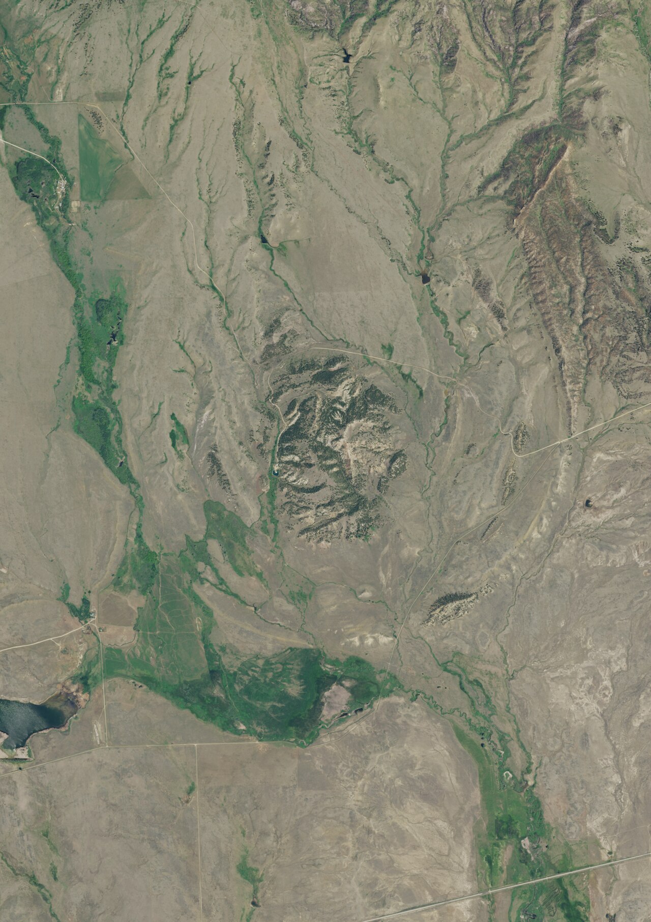
The spring sits in the Little Rocky Mountains, an isolated mountain range rising from the northern Montana prairie at 3,390 feet. Pine-covered slopes give way to open grassland, and the Missouri River breaks country extends to the north. Annual precipitation averages just 16.7 inches with 35.9 inches of snow, and the 44.3-degree average air temperature reflects the continental climate of north-central Montana. The surrounding terrain mixes timbered coulees with exposed ridgelines and creek bottoms.

Access requires permission from tribal authorities, as the spring sits on trust land with unknown public access status. The 902-meter walk crosses open terrain in the Little Rocky Mountains. At 77 degrees Fahrenheit, the water is tepid rather than hot. Camp Creek Campground, 11.3 kilometers away in the Little Rockies, is first-come, first-served and provides access to hiking, birding, and OHV trails. The nearby town of Zortman has a store, fuel, and a restaurant.

History of The (Landusky) Plunge

The name references Powell "Pike" Landusky, a miner and frontiersman who settled the area in the 1880s and gave his name to the nearby town of Landusky. The spring sits on Turtle Mountain Off-Reservation Trust Land, reflecting the complex land tenure of the Fort Belknap Indian Reservation area. The Little Rockies saw intensive gold mining from the 1890s onward, and the Zortman-Landusky mine complex operated nearby until environmental concerns forced closure in the late 1990s.

Monthly Climate
22°
Jan
21°
Feb
32°
Mar
41°
Apr
53°
May
62°
Jun
71°
Jul
70°
Aug
59°
Sep
44°
Oct
32°
Nov
24°
Dec
Annual Precip: 16.7 in Annual Snow: 35.9 in
Best Time to Visit
February Air 21°F · Water 77°F · +56° contrast
January Air 22°F · Water 77°F · +55° contrast
December Air 24°F · Water 77°F · +54° contrast
February offers 50°F more contrast than July
Current Conditions
40°F
NW 7.2 mph 85% Good soaking weather
Thursday 68° Low 43° Chance Showers And Thunderstorms 52% precip
Spring is +9° warmer
Friday 73° Low 45° Chance Showers And Thunderstorms 25% precip
Spring is +4° warmer
Saturday 62° Low 52° Rain Showers Likely 62% precip
Spring is +15° warmer
Sunday 76° Low 45° Sunny
Spring is +1° warmer
Monday 74° Low 55° Mostly Sunny 2% precip
Spring is +3° warmer
Water Chemistry Sampled 1973-08-16

The water at The (Landusky) Plunge contains 954 mg/L total dissolved solids. It is notably rich in calcium (may support bone density and joint health), magnesium (known for muscle relaxation and stress relief), and sulfate (traditionally used for skin conditions and inflammation).

Higher mineral concentration for therapeutic soaking
Calcium 160 mg/L
May support bone density and joint health
Magnesium 65 mg/L
Known for muscle relaxation and stress relief
Sodium 24 mg/L
Supports circulation and skin hydration
Sulfate 620 mg/L
Traditionally used for skin conditions and inflammation
Chloride 10 mg/L
Natural antiseptic with skin health benefits
Where to Stay

Some links are affiliate links. We may earn a commission at no extra cost to you.

Nearby Camping
Camp Creek Campground 7.0 mi away

Camp Creek Recreation Area, located in the scenic Little Rockies, consists of Camp Creek Campground, Horse Corral Campground, and Buffington Day Use Area. A system of trails leads from the main campground, making this a popular destination for hikers, birders and OHV enthusiasts. Several small bass and trout fisheries are located within 30-minutes drives. The nearby town of Zortman offers a store, restaurant, fuel, and gold panning opportunities. This is a Watchable Wildlife area as well as a...

Reserve on Recreation.gov →
Temperature
77°F
Warm Hot Boiling
Water Temp 77°F (25°C)
Avg Air Temp 44°F
Above Ambient +33°F
Mild soaking conditions May
Access
Unknown
Road Access Short Walk
Distance to Road 0.6 mi
Land
Ownership DESG
Agency DESG
Designation Tribal Land
Unit Turtle Mountain Off-Reservation Trust Land
Manager TRIB
Protection 4 - No known protection
Frequently Asked Questions
What is the water temperature at The (Landusky) Plunge?
The (Landusky) Plunge has a water temperature of 77°F (25°C). This is a warm thermal spring.
Where is The (Landusky) Plunge located?
The (Landusky) Plunge is located in Blaine County, Montana at 3,390 feet elevation, near Fort Belknap Agency. Coordinates: 47.8430°N, 108.5980°W.
How do I get to The (Landusky) Plunge?
The (Landusky) Plunge has Short Walk road access (0.6 mi from the road).
Is The (Landusky) Plunge free to visit?
The (Landusky) Plunge has Unknown access. It is managed by DESG.
Can I camp near The (Landusky) Plunge?
Yes, Camp Creek Campground is located nearby (7.0 miles away).
What minerals are in the water at The (Landusky) Plunge?
Water chemistry analysis shows the presence of Total Dissolved Solids, Calcium, Magnesium, Sodium, Sulfate, Chloride. Total dissolved solids measure 954 mg/L.
Is it safe to soak at The (Landusky) Plunge?
The (Landusky) Plunge is generally safe for soaking at its recorded temperature. Always tell someone your plans before visiting remote hot springs.
Is The (Landusky) Plunge crowded?
The (Landusky) Plunge sees varying levels of visitors depending on the season and day of the week.
What should I bring to The (Landusky) Plunge?
Essentials for The (Landusky) Plunge: swimsuit, towel, water bottle, warm layers for before and after soaking, camping gear, a trash bag to pack out what you pack in.
Sources: USGS NWIS