Unnamed Thermal Spring

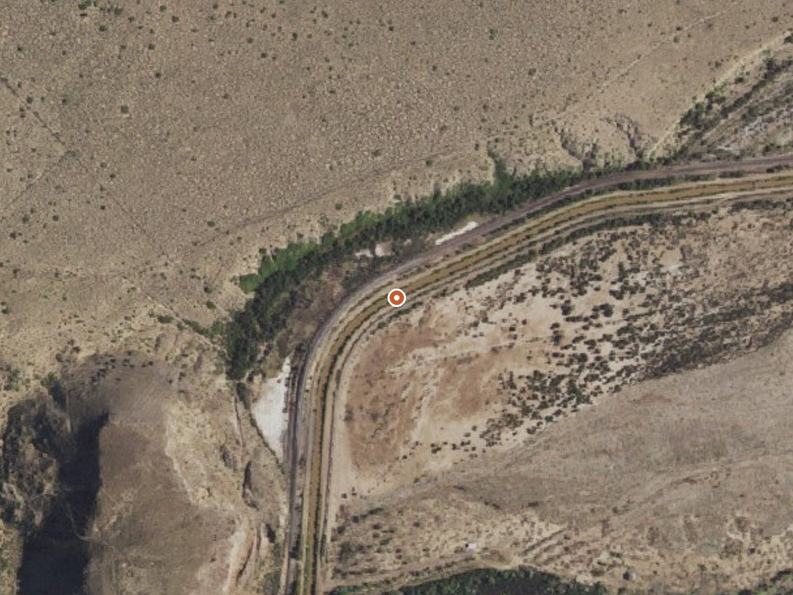
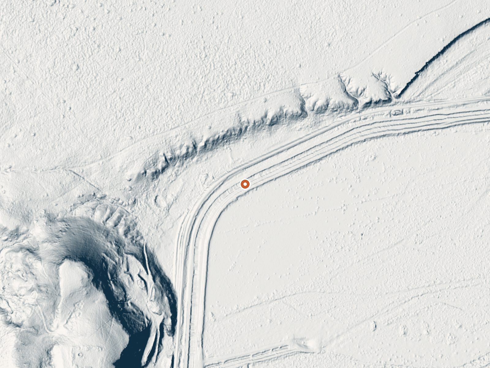
Drag the handle to compare the two views. The orange dot marks the spring, in a frame about three quarters of a mile wide.
Can you soak at this spring?
The water leaves the ground at 70°F, about as warm as a heated pool. Access is restricted. It's a short walk from the road. It's on US Fish and Wildlife Service land. We haven't confirmed whether it has a pool or charges a fee.
Inside the Sevilleta National Wildlife Refuge in Socorro County, about 15 miles from Socorro, sits a thermal point with no name and tepid water around seventy degrees. Access is recorded as restricted. The refuge is Fish and Wildlife Service land, and that status matters here far more than the water does. No outlet or pool is described.
Low basin country under 4,700 feet, dry, with light snow. The spring is barely a tenth of a mile off the road, which goes unnamed in the record. The closest camp on record, Water Canyon Campground, is a long drive at nearly 22 miles. The refuge boundary is the setting.
Restricted access means do not go without permission from the refuge. December through February rate best. The water is tepid; there is nothing here to soak in by the figures. No chemistry, no fee, no picture on file. Contact Sevilleta National Wildlife Refuge before planning anything.
Aircraft with laser scanners measured this ground to within inches. The scan strips out trees and buildings, leaving the bare shape of the land around this spring.
- Setting
- Gentle slope
- The ground tilts gently up to the west.
- Highest ground nearby
- 113 ft above the spring
- Within a quarter mile, to the west
A slice through the ground from west to east, about 0.6 miles end to end.
Elevation data: USGS 3D Elevation Program. Aerial imagery: USGS The National Map. Public domain.
That's about 1½ times the US average of 65. It's higher than at 26% of the springs on this site.
Heat flow measures the warmth working its way up through the ground from deep inside the earth. Where it runs high, rain and snowmelt that seep down through cracks in the rock come back up hot.
See every spring on the geothermal heat map →
Heat flow estimate: Stanford Thermal Earth Model (Aljubran & Horne, 2024), CC BY 4.0.
This campground is located at an elevation of 6,800 feet in the Magdalena Mountains.