East Jordan Canal
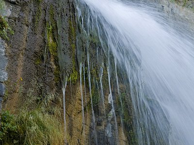
East Jordan Canal flows at 73°F through Salt Lake County near South Jordan, emerging 23 meters from Alta Creek Circle at 4,395 feet elevation in the rapidly urbanizing eastern Salt Lake Valley. The spring runs nearly 20 degrees above ambient air temperatures in an environment averaging 53 degrees annually with 17.5 inches of precipitation. Suburban development surrounds the thermal feature on all sides.
The spring occupies the Wasatch Front's piedmont zone, where alluvial fans from Big Cottonwood Canyon merge into the valley floor that ancient Lake Bonneville once covered. Residential subdivisions have replaced the native sagebrush-grassland ecosystem that dominated prior to irrigation and settlement, though the Wasatch Mountains rise dramatically three miles east with peaks exceeding 11,000 feet. Annual snowfall of 45.5 inches reflects the spring's position in the precipitation shadow of the range, where storms dump heavy snow on upper elevations but weaken as they cross the valley. The Jordan River flows four miles west, channelized through concrete banks in its passage through the metropolitan area.
Access year-round via paved suburban streets, though the spring's location among houses limits privacy and recreational potential. The moderate 73°F temperature barely registers in summer when ambient heat reaches the nineties, but becomes noticeable during winter months when valley inversions trap cold air for days. Parking requires courtesy toward adjacent residents. Dogwood Day Use area sits 15.9 kilometers up Big Cottonwood Canyon, providing picnic sites along the creek and trailhead access to the Wasatch Range.
The spring's name references the East Jordan Canal, an irrigation conveyance constructed in the 1880s to deliver water from the Jordan River to farms spreading across Salt Lake Valley's bench lands. Mormon settlers who arrived in 1847 transformed the valley through intensive irrigation, displacing Shoshone peoples who had utilized thermal springs and valley wetlands for millennia. As agriculture gave way to suburban development in the late twentieth century, many thermal seeps were buried or diverted, making this accessible spring increasingly anomalous in an urban landscape.
Some links are affiliate links. We may earn a commission at no extra cost to you.
Overview Dogwood Day Use Picnic Area is just 2 miles up Big Cottonwood Canyon, conveniently close to Salt Lake City. Big Cottonwood Creek runs alongside the site. Visitors enjoy fishing, hiking and biking.Recreation Big Cottonwood Creek is stocked for trout fishing and is a favorite among local fly-fisherman. Additionally, many hiking and mountain biking trailheads are located in the canyon.Facilities Dogwood offers several group picnic sites, all with tables, campfire rings and grills. Parki...
East Jordan Canal is road-accessible, so you can bring more gear.


As an Amazon Associate, we earn from qualifying purchases.
Springs Near East Jordan Canal
More Springs Around 73°F
Hike 6 waterfalls near East Jordan Canal
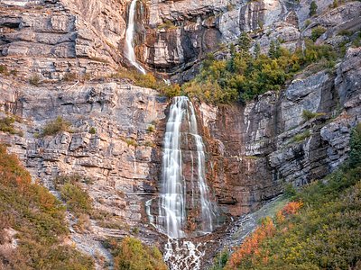
Looking for more outdoor adventures? Explore waterfall hikes near East Jordan Canal, Utah.