Rockbridge Baths

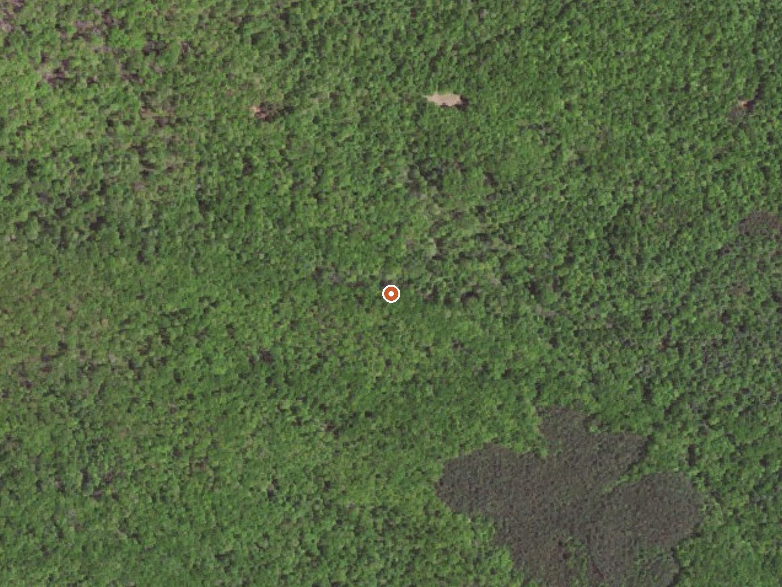
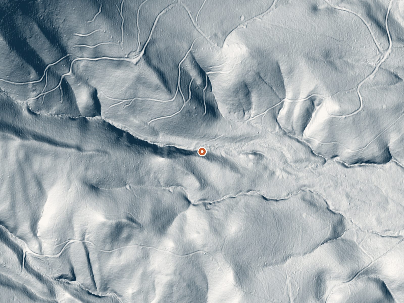
Drag the handle to compare the two views. The orange dot marks the spring, in a frame about three quarters of a mile wide.
Can you soak at Rockbridge Baths?
The water leaves the ground at 72°F, about as warm as a heated pool. It's a short walk from the road. We haven't confirmed whether it has a pool or charges a fee.
Rockbridge Baths is a tepid spring in Rockbridge County, Virginia, about seven miles from East Lexington. Low seventies water. The name suggests a bathing place, and nothing in the record says if any facility remains. No owner, no access status, no chemistry, no USGS site, no photograph. A temperature and a pair of coordinates are what you get.
The nearest road is about a fifth of a mile off, and nobody has named it on record. Elevation is around eighteen hundred feet. Around forty-four inches of rain and snow fall in a year, wet by any western standard, with the snow share about twenty-two inches, a light winter. No land unit or designation is listed.
Winter is the rated season. A short walk from the road. Cave Mountain Lake Group Camp is the camping on file, about twenty-three miles away, so an overnight means a drive. Access is not recorded. The temperature is the one measurement on record, and it has no date.
Aircraft with laser scanners measured this ground to within inches. The scan strips out trees and buildings, leaving the bare shape of the land around Rockbridge Baths.
- Setting
- Hillside
- The spring sits on a steep slope that climbs to the northwest.
- Highest ground nearby
- 378 ft above the spring
- Within a quarter mile, to the northwest
A slice through the ground from west to east, about 0.6 miles end to end.
Elevation data: USGS 3D Elevation Program. Aerial imagery: USGS The National Map. Public domain.
That's close to the US average of 65. It's higher than at 15% of the springs on this site.
Heat flow measures the warmth working its way up through the ground from deep inside the earth. Where it runs high, rain and snowmelt that seep down through cracks in the rock come back up hot.
See every spring on the geothermal heat map →
Heat flow estimate: Stanford Thermal Earth Model (Aljubran & Horne, 2024), CC BY 4.0.
Overview Cave Mountain Lake Group Camp is nestled in the Blue Ridge Mountains of Virginia, and welcomes visitors to enjoy the rustic beauty and peacefulness of the area. Easy access from the interstate and close proximity to historic Lexington and Natural Bridge State Park make Cave Mountain Lake an ideal destination. Cave Mountain Lake covers seven acres and was built in the late 1930's by the Civilian Conservation Corps, using existing natural rock buttresses to form the 35-foot dam. A gra...
Springs Near Rockbridge Baths
More Springs Around 72°F
Hike 6 waterfalls near Rockbridge Baths



Looking for more outdoor adventures? Explore waterfall hikes near Rockbridge Baths, Virginia.