Buffalo Bill Reservoir Springs
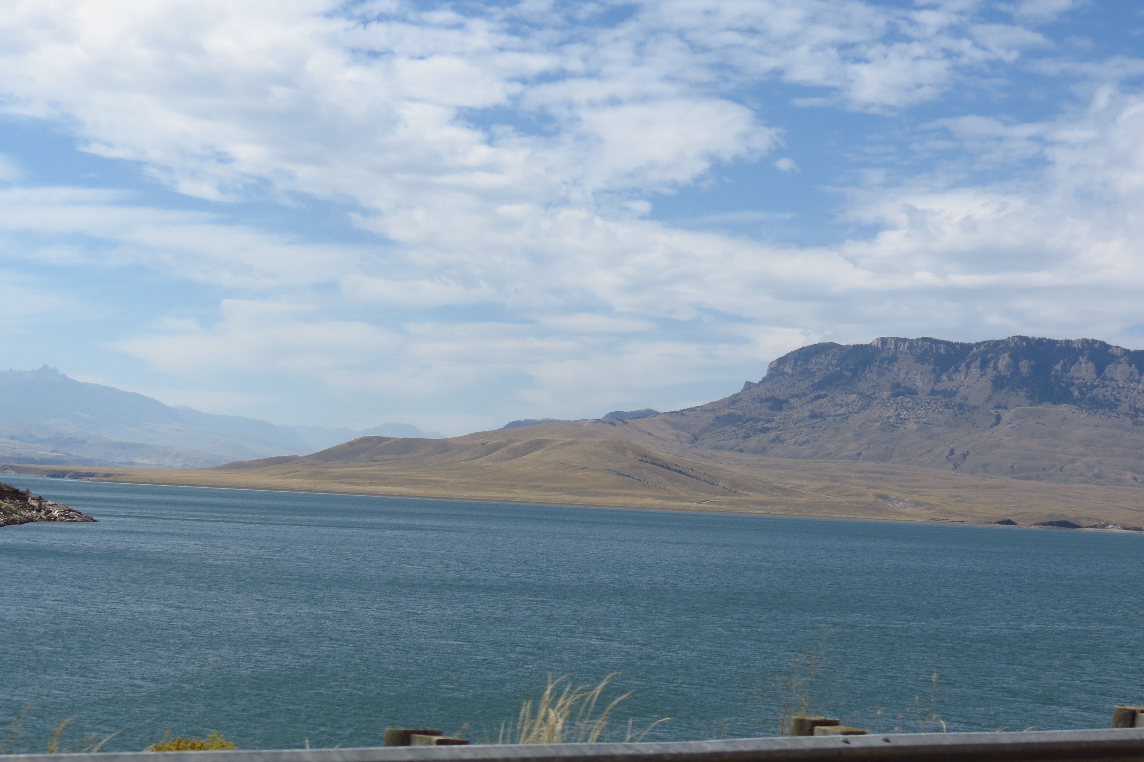
Buffalo Bill Reservoir Springs emerges at 5,530 feet along the shores of Buffalo Bill Reservoir in Park County, classified as warm without measured temperature data. Located 374.8 meters from North Fork Highway, this short-walk spring flows within Buffalo Bill Reservoir State Park managed by the Bureau of Reclamation on state lands receiving protection subject to extractive use and reservoir operations. The spring discharges in terrain receiving 19.1 inches of annual precipitation and 63.5 inches of snow.
The spring flows at 5,530 feet elevation along the reservoir's extensive shoreline, where the North Fork of the Shoshone River has been impounded behind Buffalo Bill Dam, completed in 1910 as one of the early Bureau of Reclamation projects. The reservoir sits in a steep-sided canyon carved through Paleozoic sedimentary formations of the Absaroka Range. Sagebrush, juniper, and sparse pines cover the surrounding slopes in this semi-arid environment. Reservoir water levels fluctuate seasonally with irrigation demands, potentially affecting spring emergence points. The terrain receives significantly less precipitation than Yellowstone areas 29 miles west, creating drier conditions with less snowfall.
Visit between April and October when weather permits access to reservoir shoreline areas. Winter brings modest snowfall compared to nearby mountain areas, but cold temperatures averaging 41.7°F annually create icy conditions. Reservoir water levels fluctuate with irrigation releases, affecting shoreline access. The warm spring temperature and reservoir setting may preclude bathing. Bobcat-Houlihan Campground 32.6 kilometers away provides camping access with horse facilities. Combine with Buffalo Bill Dam tours and scenic drives along Buffalo Bill Scenic Byway toward Yellowstone.
Buffalo Bill Reservoir Springs takes its name from the reservoir honoring William F. Cody, the legendary frontier scout, hunter, and showman who founded the town of Cody in 1896. The spring predates reservoir construction, with thermal waters emerging along the Shoshone River corridor for thousands of years. Indigenous Crow, Shoshone, and other tribes traveled through this area. Dam construction in 1905-1910 created the reservoir, submerging original spring locations and altering thermal discharge patterns. The Bureau of Reclamation manages the facility primarily for irrigation storage.
Some links are affiliate links. We may earn a commission at no extra cost to you.
The Bobcat-Houlihan Campground is at the trailhead of the Bobcat-Houlihan Trail. It features interpretive kiosks, horse trailer parking, horse hitching rails, food storage boxes and toilet facilities.
Buffalo Bill Reservoir Springs sits at 5,530 feet above sea level, way above the mile-high mark. You may not feel the altitude strongly, but hot water still dehydrates you faster at elevation. UV is about 22% stronger than at sea level, so bring sunscreen and drink more water than you normally would.


As an Amazon Associate, we earn from qualifying purchases.
Buffalo Bill Reservoir Springs is road-accessible, so you can bring more gear. Cold air temperatures make a changing robe or warm layers essential.


As an Amazon Associate, we earn from qualifying purchases.
Springs Near Buffalo Bill Reservoir Springs
Hike 6 waterfalls near Buffalo Bill Reservoir Springs
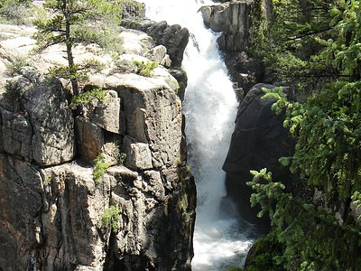
Looking for more outdoor adventures? Explore waterfall hikes near Buffalo Bill Reservoir Springs, Wyoming.